World · India Bureau
Advanced LiDAR Survey to Unearth Hidden Monuments in Lakkundi
A memorandum of understanding signed this week will deploy cutting-edge survey technologies to locate archaeological structures concealed beneath vegetation at the historic site of Lakkundi. The initiative aims to map previously undocumented monuments using LiDAR and complementary remote sensing techniques.
LSN India ·
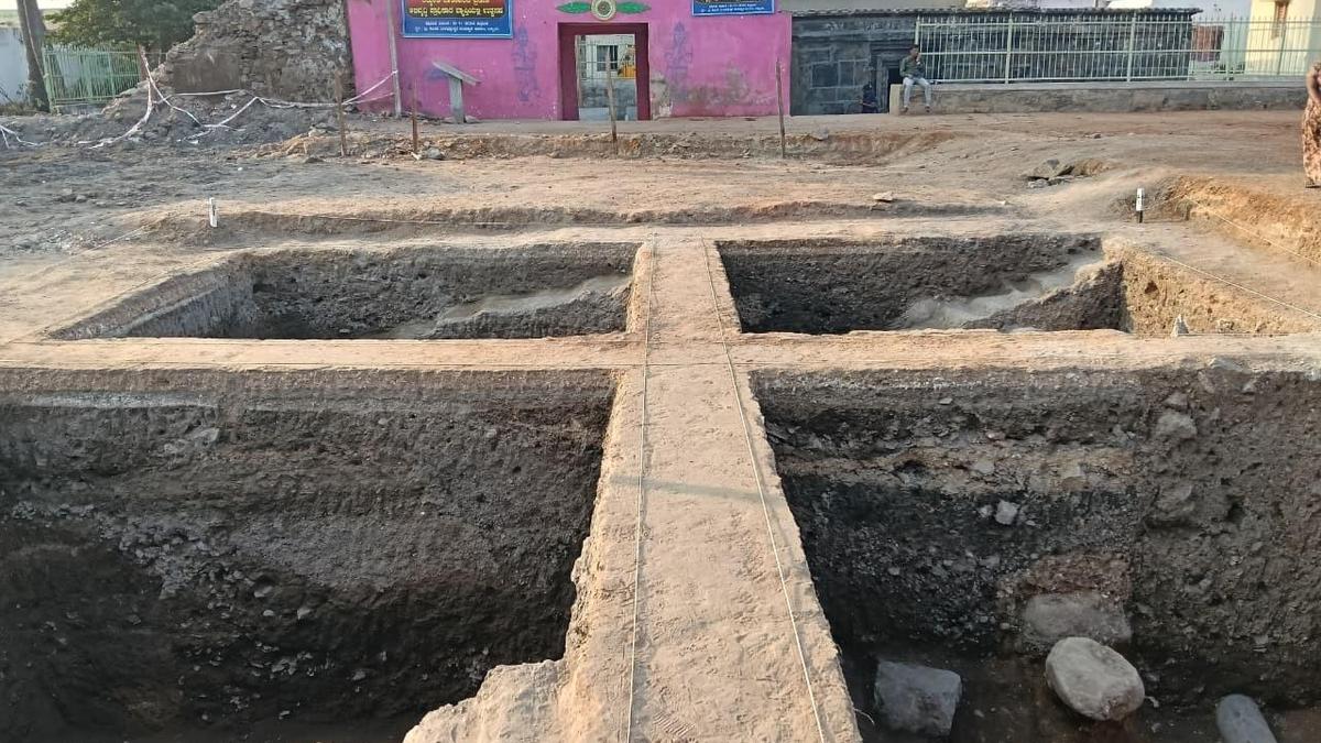
Authorities have formalized plans to conduct a comprehensive survey of Lakkundi's archaeological landscape using advanced geospatial technologies. A memorandum of understanding was executed on August 27, establishing the framework for deploying LiDAR surveys, GIS mapping, remote sensing, and ground penetrating radar to systematically identify structures obscured by dense vegetation.
The multi-technology approach represents a significant advancement in archaeological documentation at the site, which contains structures of considerable historical importance. LiDAR technology, which uses laser pulses to map terrain with high precision, is particularly effective at penetrating vegetation overgrowth to reveal underlying architectural features and landscape modifications.
The integrated survey methodology will combine data from aerial LiDAR surveys with ground-based investigations, including ground penetrating radar to detect subsurface features. Geographic Information Systems mapping will consolidate findings to create a comprehensive digital record of Lakkundi's archaeological heritage.
The initiative underscores growing adoption of remote sensing technologies in Indian archaeological research, enabling researchers to document and preserve cultural heritage sites with minimal invasive excavation. Results from the survey are expected to provide valuable insights into the settlement patterns and architectural evolution of the historic site.