World · India Bureau
Delhi launches drone surveillance pilot to improve property tax assessment
The Delhi Municipal Corporation has initiated a pilot project using drone-based surveys and 3D digital mapping to enhance transparency and accuracy in property tax assessment. The initiative is being tested in select wards across Rohini and Shahdara.
LSN India ·
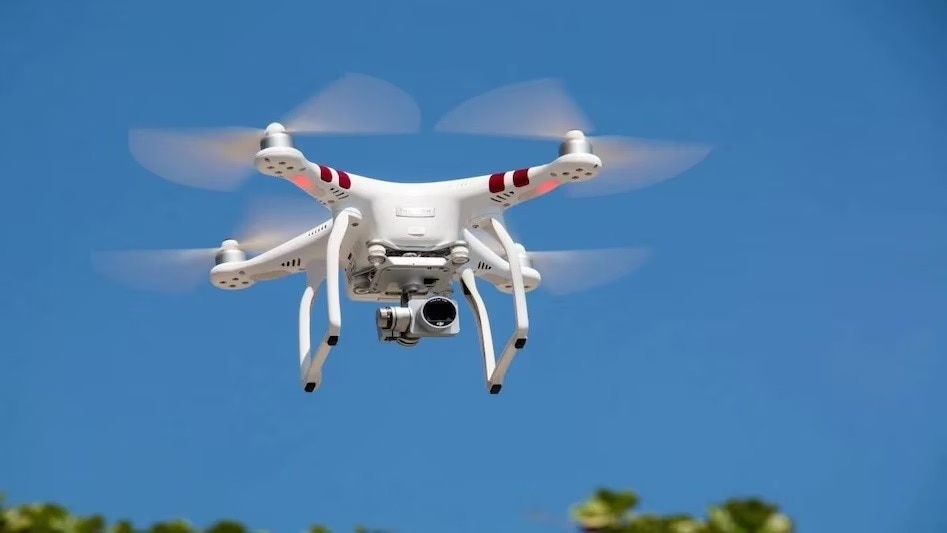
The Delhi Municipal Corporation (DMC) has rolled out a technology-driven pilot project aimed at modernizing the property tax assessment process across the capital. The initiative leverages drone-based geographic information system (GIS) technology and 3D digital twin surveys to streamline property evaluation and boost administrative transparency.
The pilot program is currently underway in multiple wards spanning the Rohini and Shahdara constituencies. Officials said the drone-based survey will enable more accurate property mapping and facilitate better data collection for tax assessment purposes, reducing reliance on traditional manual surveys.
3D digital twin technology creates virtual replicas of physical properties, allowing assessors to evaluate structures, dimensions, and configurations with greater precision. This approach is expected to minimize discrepancies and disputes between property owners and tax authorities while ensuring a more equitable distribution of the tax burden.
The DMC believes the pilot project will serve as a foundation for wider implementation across Delhi. If successful, the initiative could significantly reduce assessment time, enhance revenue collection, and provide citizens with greater clarity on how their property valuations are determined.
The corporation has not announced a timeline for expansion beyond the current pilot wards or specified when results from the initial phase would be evaluated.