World · Malaysia Bureau
Google Maps updates Great Lakes labelling in US-Canada border region
Google has adjusted how it displays Lake Ontario on its Maps platform, with the naming convention now varying by user location. The change reflects Google's practice of displaying geographic features according to local naming conventions and geopolitical sensitivities.
LSN Malaysia ·
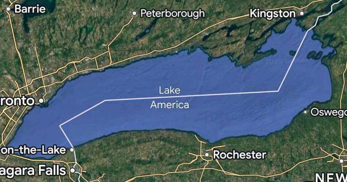
Google Maps has modified how it labels one of North America's Great Lakes, implementing a location-based approach to the feature's nomenclature. Users accessing the service from within the United States will see the lake designated as 'Lake America,' while Canadian users will continue to see the traditional name 'Lake Ontario.' The technology giant confirmed that individuals outside both countries will observe both designations displayed simultaneously on their maps.
The adjustment aligns with Google's broader strategy of customizing geographic labeling to reflect local naming preferences and territorial sensitivities. The company has previously implemented similar location-based variations for disputed or alternatively-named geographic features in other regions worldwide.
Lake Ontario, which straddles the Canada-US border between Ontario and New York State, represents one of the five Great Lakes and holds significant importance for both nations. The lake has been historically known by its current name for centuries, derived from the Haudenosaunee Confederacy's language.
Google's decision to introduce alternative naming conventions reflects ongoing discussions about geographic representation in digital platforms and how technology companies navigate international naming disputes. The company stated that the approach ensures users see information relevant to their local context while maintaining accuracy across different regions.