Politics · World News Bureau
Google Maps updates Lake Ontario labeling following US government directive
Google has adjusted its mapping service to reflect a US government decision regarding the naming of the body of water between Canada and the United States. The tech company says the change will apply only to American users, while Canadian users will continue to see the traditional Lake Ontario designation.
LSN World News ·
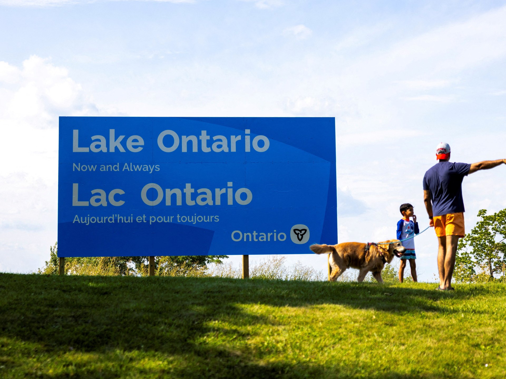
Google Maps has implemented a labeling change for one of North America's largest freshwater lakes following a directive from a US government agency. The adjustment represents the company's response to an official decision made by American authorities regarding geographic nomenclature.
According to Google's statement, the updated naming convention will appear exclusively to users accessing the service from the United States. Users in Canada and other regions will continue to see the lake identified by its established name, Lake Ontario, maintaining consistency with Canadian geographic standards and international convention.
The divergent labeling approach reflects Google's practice of customizing map displays based on user location and local regulations. Different countries maintain their own geographic naming standards, and mapping services frequently adjust their displays to comply with local requirements and conventions.
The modification follows an official decision by a US government entity regarding how the geographical feature should be designated within American territory and services. Google's implementation of location-based naming adjustments is consistent with how the company handles other disputed or regionally-specific geographic designations across its platform.