Technology · Vietnam Bureau
Hanoi deploys real-time flood mapping tool for city residents
The capital's science and technology department has launched a digital application to provide residents with instant flood alerts and rainfall monitoring. The new tool integrates with Hanoi's existing iHanoi citizen platform.
LSN Vietnam ·
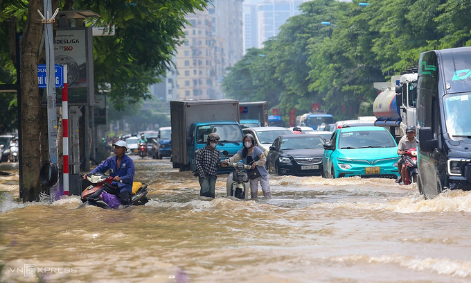
Hanoi residents now have access to real-time flood and rainfall information through a new mini application that tracks weather patterns and water accumulation across the city. The Hanoi Department of Science and Technology has deployed the 'Ban do mua ngap' (Rainfall and Flooding Map) on the iHanoi digital citizen platform, offering residents immediate visibility into flood-prone areas and rainfall intensity.
The application represents an expansion of the city's digital infrastructure aimed at improving public safety during monsoon and typhoon seasons, when heavy precipitation frequently leads to urban flooding. By providing instant alerts and interactive mapping, the tool enables residents and authorities to better prepare for and respond to flood conditions.
The integration with iHanoi, the municipal government's broader digital citizen application, ensures accessibility for residents already familiar with the platform. The move aligns with Hanoi's broader digitalization efforts to enhance urban management and public services through technology-based solutions.
The initiative reflects growing efforts among Southeast Asian capitals to leverage digital tools for disaster management and climate adaptation. With flooding becoming an increasingly pressing concern in rapidly urbanizing areas, real-time monitoring systems are considered essential infrastructure for modern city planning.