World · India Bureau
IIT-Madras researchers use air pollution data to predict flood zones
Scientists at the Indian Institute of Technology Madras have developed a novel methodology to identify flood-prone areas by analyzing atmospheric pollution patterns. The technique offers a new approach to urban flood risk assessment and disaster preparedness.
LSN India ·
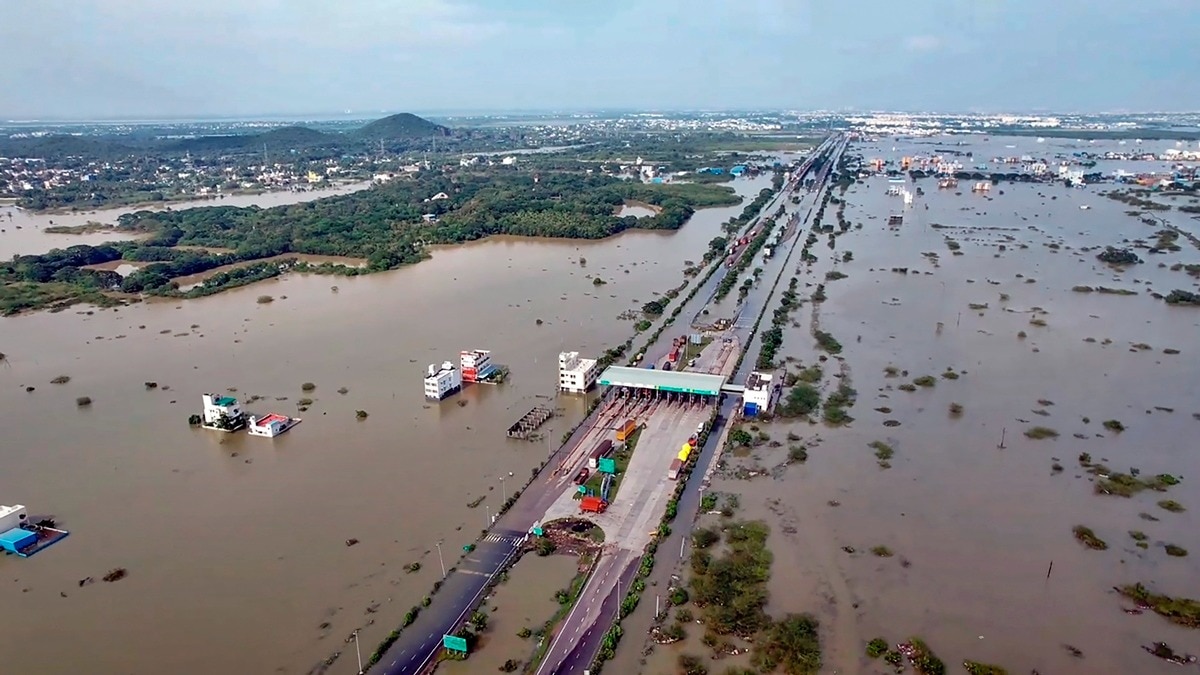
Researchers at IIT-Madras have discovered that air pollution data contains valuable information about geographical vulnerabilities to flooding, opening new avenues for disaster management and urban planning across India. The team's analysis reveals that particulate matter and pollutants in the atmosphere can serve as indicators of terrain characteristics and weather patterns that influence flood susceptibility in different regions.
By examining the distribution and behavior of airborne pollutants, the researchers identified correlations between atmospheric conditions and flood-prone zones. The methodology leverages existing air quality monitoring networks already operational in many Indian cities, potentially making flood prediction more accessible and cost-effective compared to traditional surveying methods.
The findings could prove particularly valuable for India's urban centers, where rapid development has increased vulnerability to flooding and climate-related disasters. Cities struggling with both air pollution and inadequate drainage infrastructure may benefit from this integrated approach to risk assessment.
The research represents an innovative application of environmental data science to urban resilience, combining meteorological insights with existing pollution monitoring infrastructure. As climate change intensifies weather variability across South Asia, such interdisciplinary approaches may become increasingly important for city planners and disaster management authorities preparing for extreme weather events.
The IIT-Madras team's work is expected to inform future urban development policies and help municipalities better allocate resources for flood mitigation and infrastructure improvement projects.