World · World News Bureau
Investigators Map Destructive Flash Flood Path Across Nepal-Tibet Border
Analysis of verified video evidence traces the devastating route of a major flash flood that swept through the Nepal-Tibet region. The examination reveals the scale and trajectory of the disaster that claimed multiple lives.
LSN World News ·
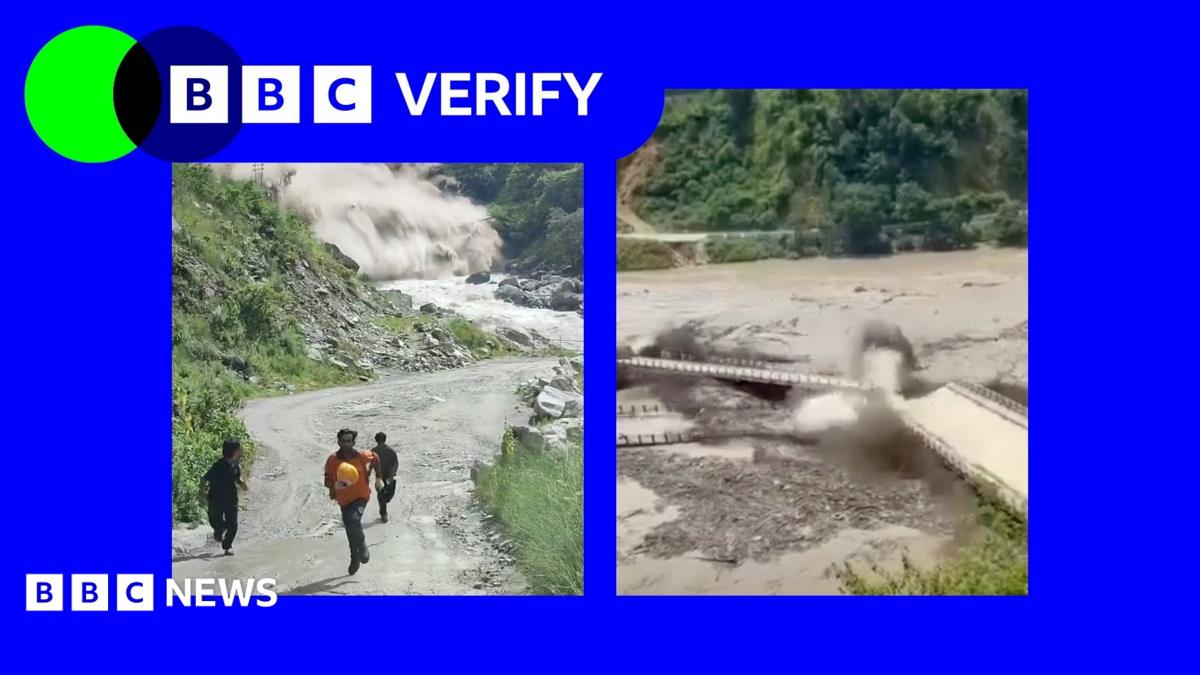
A systematic review of video documentation has mapped the destructive path of a flash flood that tore through the Nepal-Tibet border area, providing new insights into the disaster's severity and scope.
Using verified footage from multiple sources, investigators traced the flood's progression as it moved through populated areas and valleys in the high-altitude region. The analysis reveals how the surge of water and debris devastated settlements and infrastructure in its wake, with the force of the deluge captured in several recordings.
The flash flood, triggered by the rapid release of water likely stemming from heavy precipitation or glacial melt, demonstrates the vulnerability of communities in steep mountain terrain where water can accelerate to dangerous speeds with little warning. Residents in affected areas had minimal time to seek safety once the waters began their descent.
Accounts from the region indicate significant casualties and damage to homes and agricultural areas. The incident underscores ongoing concerns about natural disaster preparedness in remote mountainous regions where early warning systems remain limited and rescue operations face substantial geographical and logistical challenges.
Authorities in both Nepal and Tibet are assessing the full extent of the damage and working to support affected communities.