World · World News Bureau
Investigators Map Destructive Path of Nepal-Tibet Flash Flood
Verification teams have traced the route of a devastating flash flood that swept across the Nepal-Tibet border region, using visual evidence to document the disaster's impact and trajectory.
LSN World News ·
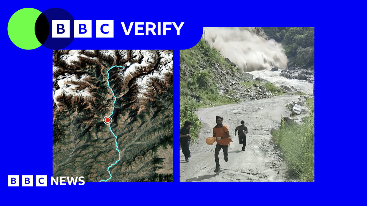
A catastrophic flash flood that struck the Nepal-Tibet border area has been tracked through verified video evidence, revealing the scale and path of the disaster. The flooding occurred in a mountainous region where communities face particular vulnerability to rapid water surges resulting from heavy precipitation and glacial melt.
Investigators analyzed multiple video sequences to establish how the floodwaters moved through the affected area, documenting the force and extent of the destruction. The evidence shows the water's progression across settlements and infrastructure, providing crucial data on the flood's velocity and impact zones.
The incident highlights the risk posed by extreme weather events in high-altitude regions where terrain amplifies the danger of flash flooding. The Nepal-Tibet border region's geography, characterized by steep valleys and fast-flowing waterways, creates conditions where sudden water surges can develop with little warning.
Local authorities continue assessing damage to communities affected by the flooding. The verified footage provides essential information for understanding the disaster's mechanics and may inform future early warning systems and disaster preparedness efforts in vulnerable border areas.