Technology · India Bureau
ISRO Makes Historic Launch of First Geostationary Imaging Satellite
India's space agency has successfully deployed EOS-05, the nation's first earth observation satellite in geostationary orbit, aboard a GSLV rocket. The 2,300-kilogram satellite marks ISRO's inaugural success of 2026.
LSN India ·
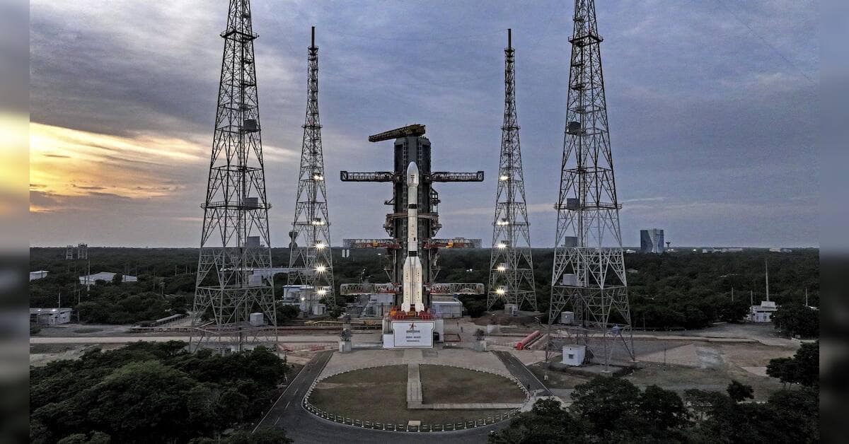
The Indian Space Research Organisation achieved a significant milestone on Friday with the successful deployment of EOS-05 from its spaceport. The satellite reached its intended sub-geosynchronous transfer orbit approximately 18 minutes after launch, with ISRO confirming the payload had attained its precise trajectory.
EOS-05 represents a departure from India's traditional earth observation approach. While most remote sensing satellites operate from low earth orbit, this mission positions the satellite at an altitude of roughly 36,000 kilometres—the geosynchronous orbital belt where it will synchronize with Earth's rotation. At this vantage point, the satellite will maintain a fixed position relative to the Indian landmass, enabling continuous monitoring capabilities.
At over 2,300 kilograms, EOS-05 is the heaviest payload ever carried by a GSLV rocket, underscoring the vehicle's enhanced lift capacity. Scientists involved in the mission have characterised the satellite as "the eye in the sky," designed to provide comprehensive earth observation data for the nation.
The launch concludes a successful start to ISRO's 2026 mission schedule and reinforces India's expanding capabilities in space-based remote sensing technology. The geostationary platform is expected to deliver significant advantages for disaster management, agricultural monitoring, and coastal surveillance.