World · India Bureau
ISRO satellite footage tracks Cyclone Arnab's path to Andhra Pradesh coast
Satellite imagery released by India's space agency has documented Cyclone Arnab's movement toward the Andhra Pradesh coastline. The severe weather system triggered extensive damage across Odisha and Andhra Pradesh, prompting large-scale evacuation and rescue efforts.
LSN India ·
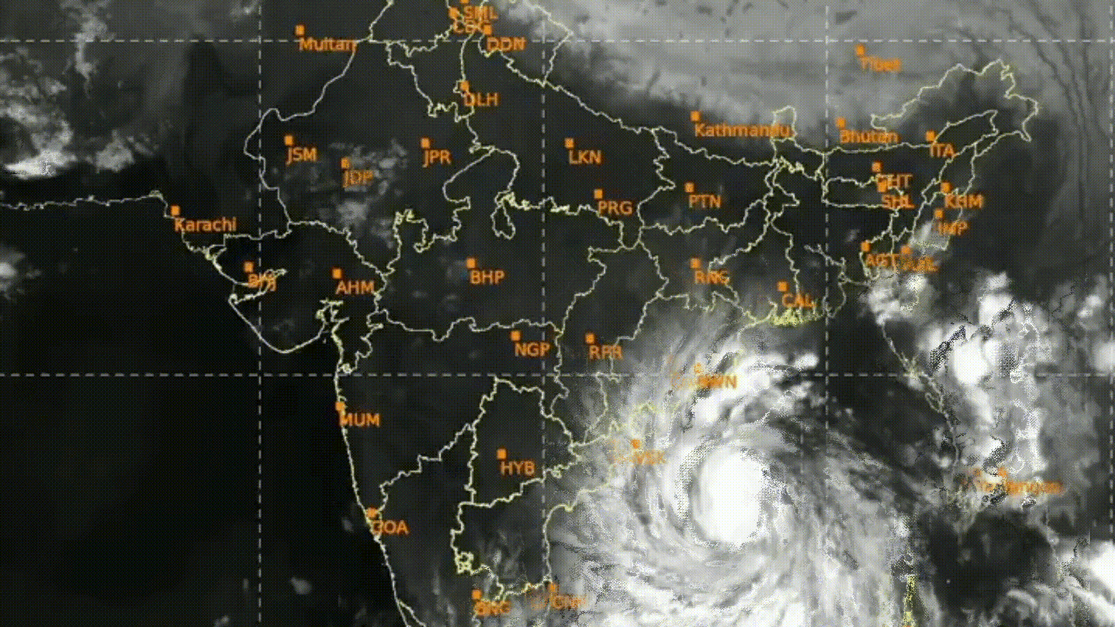
The Indian Space Research Organisation has released time-lapse satellite footage documenting the progression of Cyclone Arnab as it advanced toward the eastern Indian coastline. The imagery provides a detailed visual record of the cyclone's trajectory and intensity changes as it approached the Andhra Pradesh coast.
The cyclone inflicted considerable damage across multiple districts in Odisha and Andhra Pradesh. Authorities reported widespread destruction of infrastructure, agricultural land, and residential areas in the affected regions. The severity of the weather system necessitated immediate administrative response across both states.
State and national disaster management agencies coordinated large-scale evacuation operations in vulnerable coastal and low-lying areas ahead of the cyclone's landfall. These preventive measures aimed to minimize casualties and protect residents from the severe weather conditions. Rescue operations were mobilized across the impacted zones to assist affected populations and restore essential services.
The satellite monitoring by ISRO enabled meteorological agencies to provide accurate forecasts and track the cyclone's movement in real-time, supporting emergency response planning and decision-making by state authorities throughout the crisis.