World · Sri Lanka Bureau
Lower Kadugannawa stretch declared high-risk landslide zone
Authorities have designated a 3-kilometre section of the Colombo-Kandy main road as a high-risk landslide area, based on geological assessments and historical incident data. The designation covers the Lower Kadugannawa zone between kilometre markers 96 and 99.
LSN Sri Lanka ·
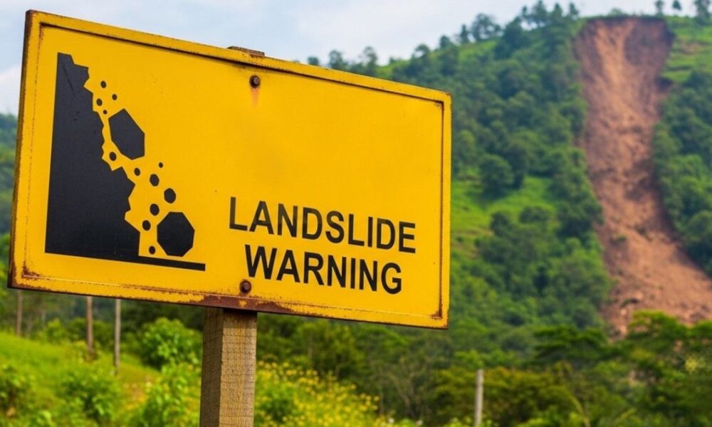
The National Building Research Organisation has formally identified the Lower Kadugannawa section along the main Colombo-Kandy highway as a high-risk landslide zone following a comprehensive assessment of geological conditions in the area.
The designation applies to the stretch between kilometre 96 and kilometre 99, a critical section of one of the country's busiest transport corridors. The determination was based on hazard zone mapping produced by the National Building Research Organisation, documented instances of previous landslides in the vicinity, and geological instability triggered during severe weather events including cyclonic conditions.
The identification of high-risk zones along major transport routes is part of ongoing efforts to mitigate landslide hazards and improve road safety during periods of heavy rainfall and extreme weather. The region's topographical and soil characteristics have made it vulnerable to ground movement, particularly during the monsoon seasons.
The designation is expected to inform land-use planning decisions, infrastructure maintenance protocols, and emergency response strategies for the area. Stakeholders including the road authority and local administration are likely to implement targeted monitoring and stabilisation measures in response to the formal risk classification.