World · Malaysia Bureau
Malaysia deploys geospatial rapid response vehicle for disaster management
A new Defence Geospatial Information Rapid Team vehicle has been introduced to integrate geospatial tools and accelerate emergency response capabilities during natural disasters and crises across Malaysia.
LSN Malaysia ·
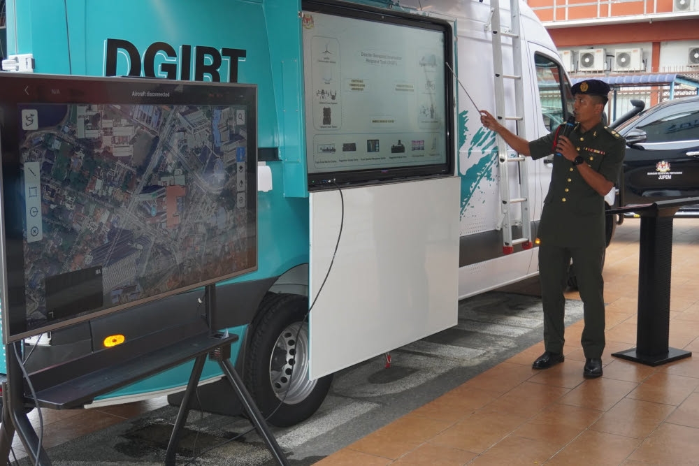
KUALA LUMPUR — Malaysia has launched a pilot Defence Geospatial Information Rapid Team (DGIRT) vehicle designed to streamline disaster response operations by consolidating advanced geospatial technology and analytical tools in a single mobile unit.
The vehicle represents an integrated approach to emergency management, bringing together mapping, satellite imagery analysis, and real-time information systems to support rapid decision-making during disasters. The deployment aims to enhance coordination among relevant agencies and improve the speed and accuracy of emergency response across affected regions.
The DGIRT vehicle pilot programme signals Malaysia's commitment to modernising its disaster management infrastructure through technological innovation. By centralising geospatial capabilities, the system is expected to reduce response times and provide authorities with better situational awareness during critical incidents.
The initiative forms part of broader efforts to strengthen Malaysia's resilience against natural hazards and emergency situations. Officials anticipate the pilot phase will demonstrate the vehicle's operational effectiveness and inform potential nationwide deployment strategies.