World · India Bureau
Monsoon clouds blanket eastern and central India in satellite imagery
Satellite observations reveal a massive build-up of monsoon cloud systems over eastern and central India, with forecasters predicting intensified rainfall in these regions. Meanwhile, western, southern and parts of northwestern India are expected to remain drier, with only scattered showers anticipated in the Delhi-NCR region.
LSN India ·
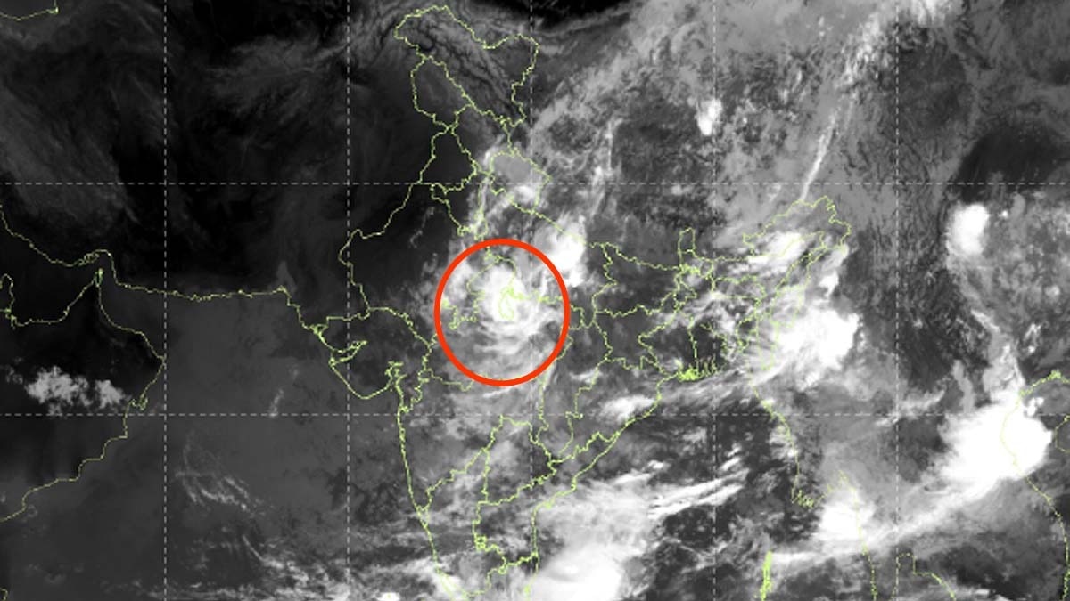
The INSAT-3DS meteorological satellite has captured extensive cloud formations stretching across eastern and central India, indicating a significant concentration of monsoon moisture over these areas. The imagery signals an active phase of the southwest monsoon with potential for heavy precipitation in the coming days.
According to meteorological assessments based on the satellite data, eastern and central regions face heightened rainfall activity as the monsoon system remains firmly established. The concentrated cloud cover in these zones suggests favorable conditions for sustained precipitation, which could impact agricultural activities and water resources across the affected states.
In contrast, western and southern portions of the country are expected to experience relatively dry conditions during this period. The northwestern region, including the Delhi-National Capital Region, will likely see only scattered and intermittent showers rather than sustained rainfall, maintaining comparatively drier weather patterns.
The satellite monitoring continues to provide crucial real-time insights into monsoon progression and distribution, enabling meteorological departments to issue timely forecasts for various regions across the country.