Politics · India Bureau
Nepal disaster underscores cascading hazard risks across Himalayas
A catastrophic event in Nepal has exposed how a single high-altitude disaster in the Himalayas can trigger a devastating chain reaction of avalanches, river blockages and flash floods. Experts now stress the need for comprehensive multi-hazard assessment across the mountain range rather than evaluating risks in isolation.
LSN India ·
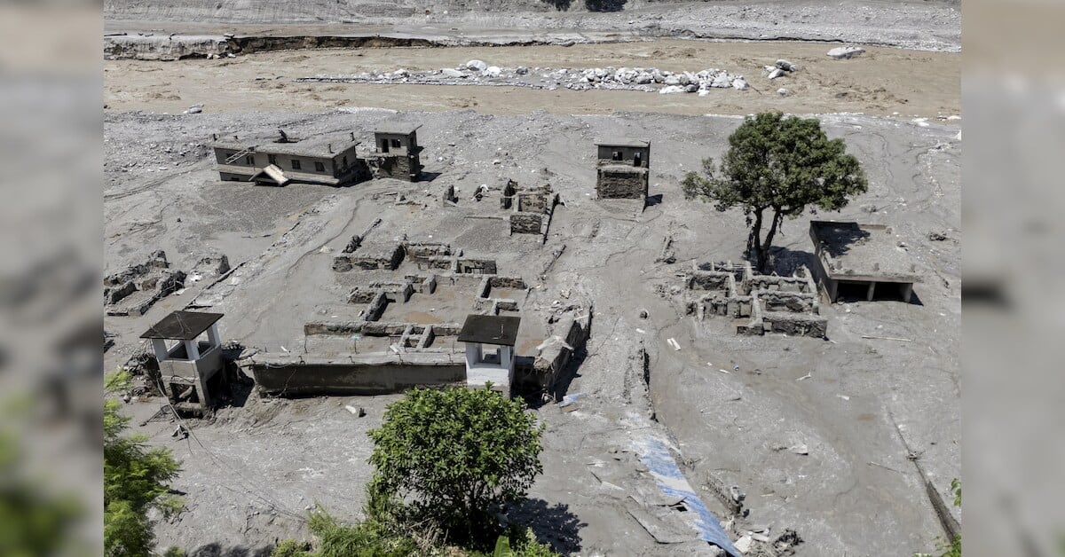
Nepal's recent calamity serves as a stark reminder of the interconnected dangers facing the Himalayan region, according to senior officials at India's Geological Survey. The disaster demonstrates how initial geological failures can rapidly cascade into multiple secondary hazards, magnifying destruction across vast downstream areas within hours.
The Nepal event involved precisely such a sequence of cascading processes. Satellite imagery from August 28 revealed an impoundment covering approximately 11 hectares near the Langtang Lirung ice-rock avalanche site, indicating that the initial ice-rock failure had created a temporary obstruction in the river system, leading to water accumulation. This impounded water posed significant additional flood risk to communities downstream.
Assessing Himalayan hazards requires moving beyond evaluating individual risks in isolation, experts emphasize. Instead, a comprehensive approach combining satellite-based observations, field investigations and ground instrumentation is essential to understand how one hazard can swiftly trigger others. Such integrated monitoring could provide earlier warning systems for vulnerable populations across the region.
The findings underscore the need for enhanced regional cooperation and investment in multi-hazard monitoring infrastructure throughout the Himalayan belt, where millions of people face compounding disaster risks from interconnected geological and hydrological processes.