Politics · Philippines Bureau
Prosecution uses satellite imagery to question Duterte's property disclosure
Prosecutors presented Google Maps images of Vice President Sara Duterte's Davao City property on Monday, raising questions about whether the real estate was properly listed in her financial disclosures. The development marked a significant moment in the ongoing impeachment proceedings against the vice president.
LSN Philippines ·
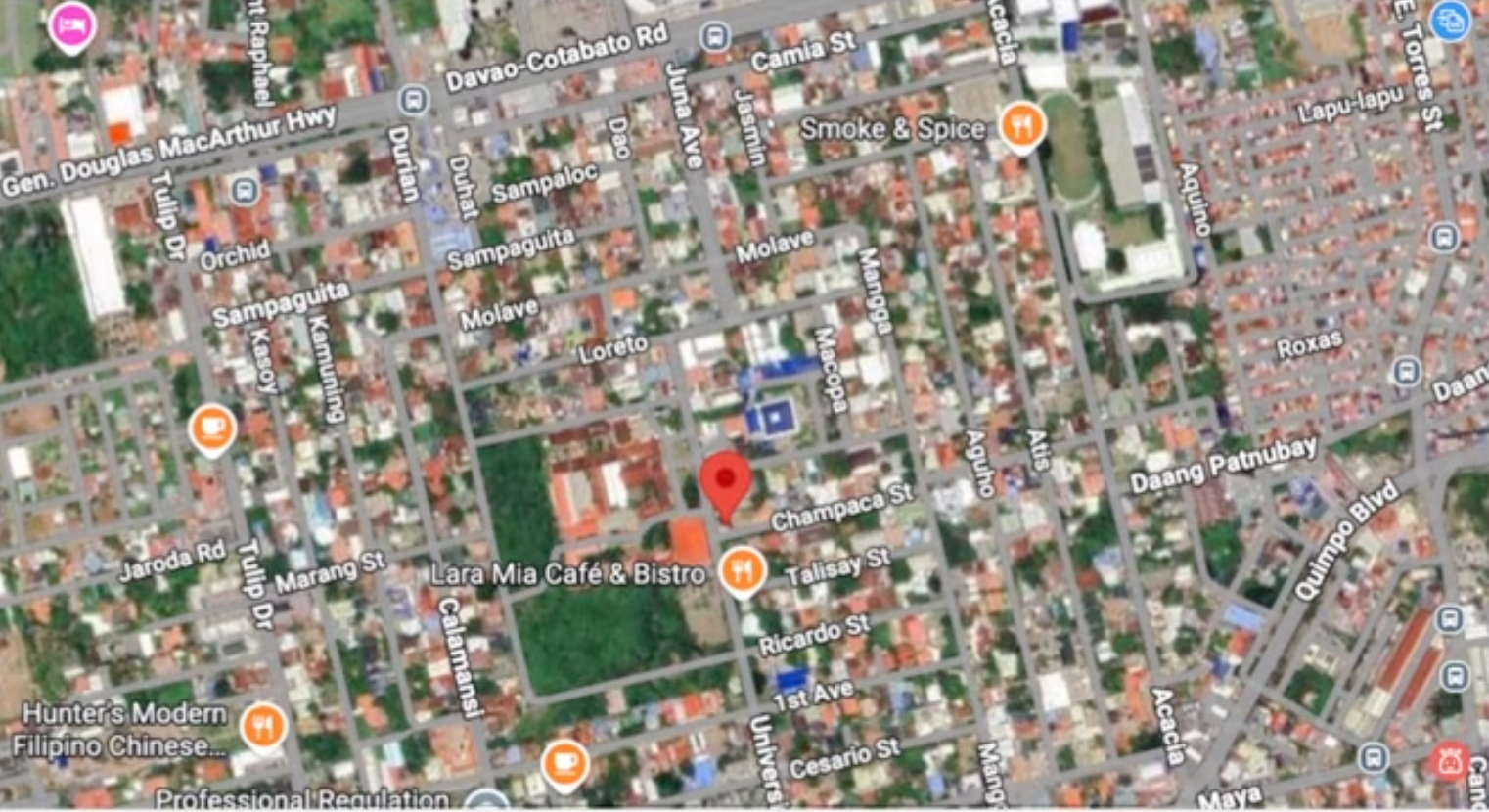
During the 40th day of the impeachment trial, prosecution counsel Benjamin Tolosa Jr. introduced satellite imagery showing a property in Matina Crossing, Davao City allegedly owned by Vice President Duterte. The presentation centered on whether the property was accurately declared in her Statement of Assets, Liabilities, and Net Worth (SALN), an official financial disclosure document required of government officials.
The use of Google Maps imagery as evidence underscores the prosecution's strategy to scrutinize the vice president's financial declarations. The property in question has become a focal point in the impeachment case, with prosecutors seeking to establish potential discrepancies between her actual holdings and what was officially reported.
The SALN is a mandatory declaration submitted by public officials that lists their assets, liabilities, and net worth. Prosecutors contend that accurate and complete disclosure of real property is essential to the integrity of the process, which is designed to combat corruption and ensure transparency in government.
The presentation of satellite imagery as corroborating evidence reflects modern investigative techniques being employed in the high-profile case. The impeachment proceedings continue to draw significant attention as they examine various aspects of Vice President Duterte's official financial records and declarations.