Technology · World News Bureau
Satellite imagery maps extent of flooding devastation across Nepal villages
Before-and-after satellite images have revealed the scale of destruction wrought by recent floodwaters in Nepal, with villages, critical infrastructure and a major border crossing with Tibet among the casualties.
LSN World News ·
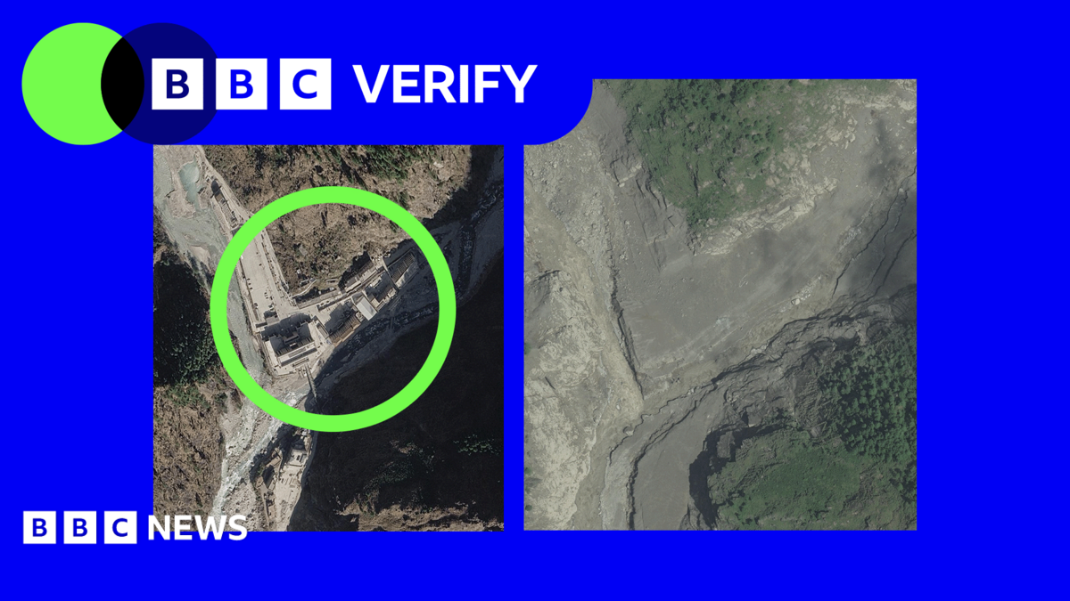
Comparative satellite imagery documenting the impact of severe flooding in Nepal shows widespread destruction across multiple settlements, with entire communities submerged and key transport routes obliterated by surging waters.
The photographic evidence reveals the erasure of villages and the collapse of bridge infrastructure that once connected remote communities. The devastation extends to a strategically important Nepal-Tibet border crossing, which has been rendered impassable by the floodwaters, potentially disrupting cross-border movement and trade.
The satellite data provides quantifiable documentation of the disaster's geographic footprint, offering authorities and humanitarian organizations detailed assessment of affected areas. The images underscore the vulnerability of Nepal's mountainous regions to extreme weather events and infrastructure damage in border areas with limited accessibility.
Flooding in Nepal's highlands and foothills has historically caused significant loss of life and displacement, with monsoon seasons and glacial melt posing recurring threats to settlements in river valleys and low-lying areas adjacent to waterways.