Technology · India Bureau
Satellite imagery reveals Cyclone Arnab's expansive rain system over India
Space-based observations have documented the extensive precipitation envelope associated with Cyclone Arnab as it impacts Indian territory. The satellite data provides crucial insights into the storm's intensity and coverage area.
LSN India ·
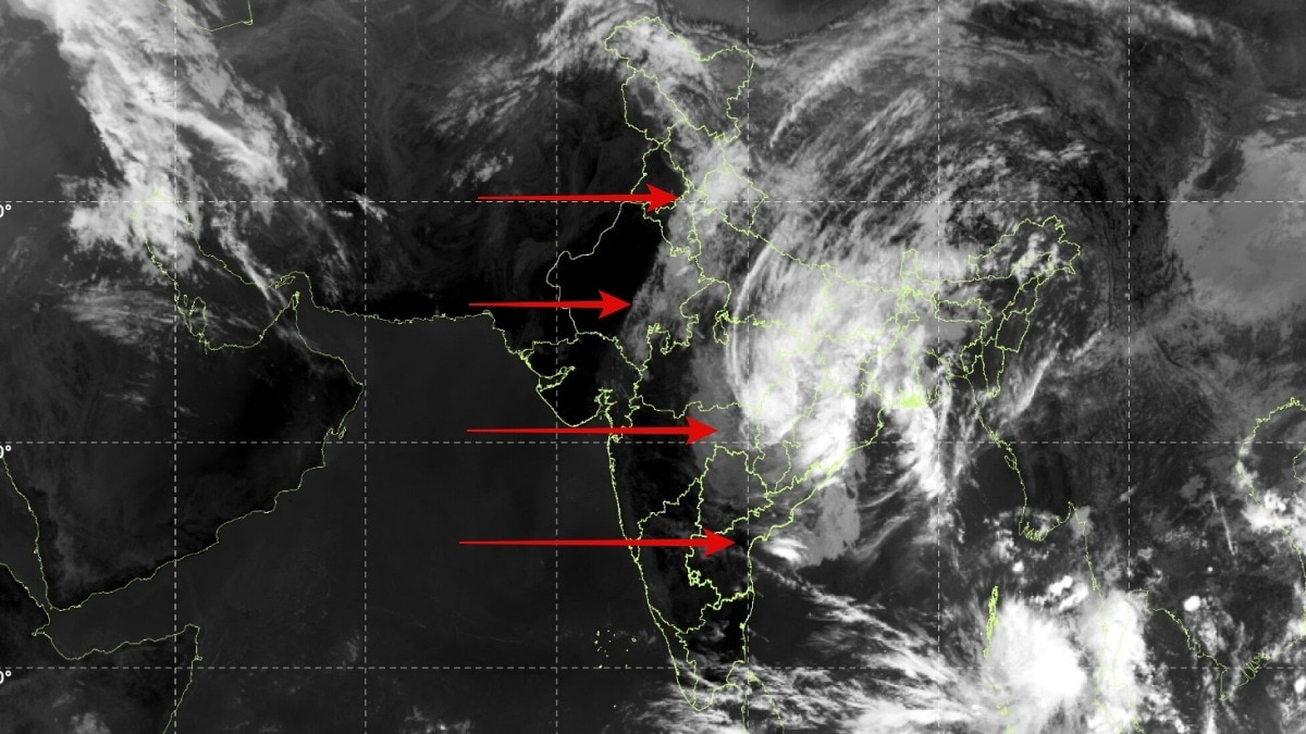
Meteorological satellites have captured detailed imagery of Cyclone Arnab's massive rain shield extending across significant portions of India, offering meteorologists and disaster management authorities a comprehensive view of the system's scope and intensity. The satellite observations reveal the cyclone's broad cloud formation and precipitation patterns as the storm system moves through the region.
The captured data has proven instrumental for weather forecasting agencies in tracking the cyclone's progression and predicting its rainfall distribution across affected areas. Such satellite intelligence enables authorities to issue timely warnings and coordinate relief operations in vulnerable zones.
Cyclone Arnab's expansive rain system underscores the scale of weather systems that regularly impact the Indian subcontinent during cyclone season. The satellite imagery provides the meteorological community with real-time atmospheric data essential for understanding the storm's characteristics and potential impacts on communities in its path.
Space agencies continue to monitor the system's movement and evolution, with satellite data serving as a critical tool for disaster preparedness and response planning across the region.