Technology · India Bureau
Satellite imagery reveals glacier collapse triggered Nepal-Tibet border floods
Earth scientists analyzing satellite imagery have identified a major glacier failure as the likely cause of catastrophic flooding along the Nepal-China border that killed hundreds and left many missing. Geomorphologists found evidence that bedrock beneath the Langtang Lirung glacier collapsed, sending massive chunks of ice and rock cascading into valleys below.
LSN India ·
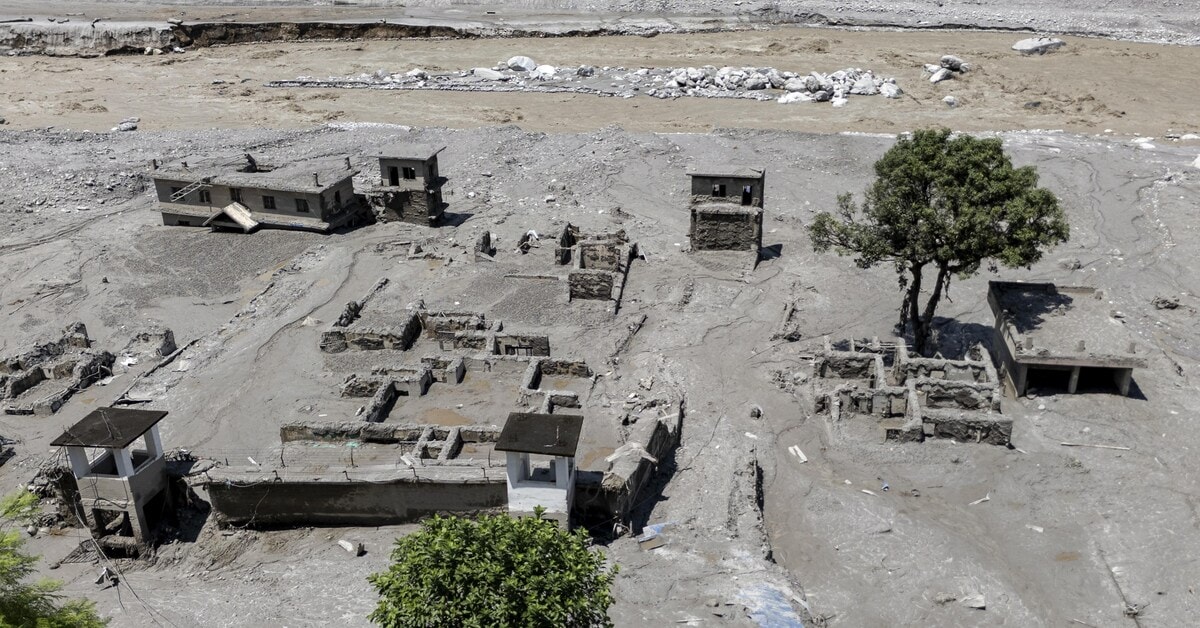
Rescue operations continued Thursday across the Nepal-Tibet border region following Wednesday's devastating floods that claimed hundreds of lives and left scores of foreigners and pilgrims unaccounted for. As teams searched for survivors, Earth scientists turned to satellite imagery to understand what triggered the disaster.
Geomorphologists Kristen Cook and Dan Shugar examined available satellite data to piece together the sequence of events. Initial images from Wednesday were hampered by heavy cloud cover and dust from debris, limiting visibility to a partial view of a glacier break-off from the Langtang Lirung peak near the Tibet border.
Clearer satellite imagery obtained Thursday revealed the full extent of the geological failure. The scientists identified a critical collapse of bedrock beneath the glacier, which dislodged an enormous mass of ice and sent boulders and ice tumbling down the valley floor. The analysis suggests the failure was not limited to a single glacier but involved a substantially larger section of the mountainside.
The satellite findings provide crucial evidence for understanding how the flooding occurred, as researchers continue to assess the full scale of devastation across the border region.