Technology · India Bureau
Satellite imagery tracks Cyclone Arnab's powerful progression across India
Successive satellite images have documented Cyclone Arnab's passage across Indian territory, capturing the storm system's evolution and movement patterns. The visual data provides crucial insights into the cyclone's trajectory and intensity as it affects multiple regions.
LSN India ·
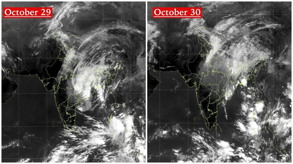
Satellite imagery obtained at different intervals has offered meteorologists and disaster management authorities a clear visual record of Cyclone Arnab's journey across India. The sequential photographs reveal the storm system's structural changes and directional movement, enabling better understanding of its impact across affected areas.
The satellite data has proven instrumental for weather forecasters monitoring the cyclone's progression and predicting its path. Real-time imaging from meteorological satellites allows authorities to track wind patterns, cloud formations, and the system's overall intensity as it traverses the country.
Cyclone Arnab's passage has affected multiple states and regions across India, with the satellite documentation helping coordinate response efforts and issue timely weather alerts to the public. The imagery serves as valuable data for post-storm analysis and for improving predictive models for future cyclonic systems in the region.
Indian meteorological agencies continue to utilize satellite technology to monitor weather systems and provide advance warning to residents in vulnerable areas, allowing time for evacuation and emergency preparedness measures.