World · India Bureau
Satellite images document extent of Iranian missile strikes on US bases
Newly released photographs provide visual evidence of the damage inflicted during Iran's ballistic missile attack on American military installations in the Middle East. The imagery offers rare documentation of the direct impact of the cross-border strikes.
LSN India ·
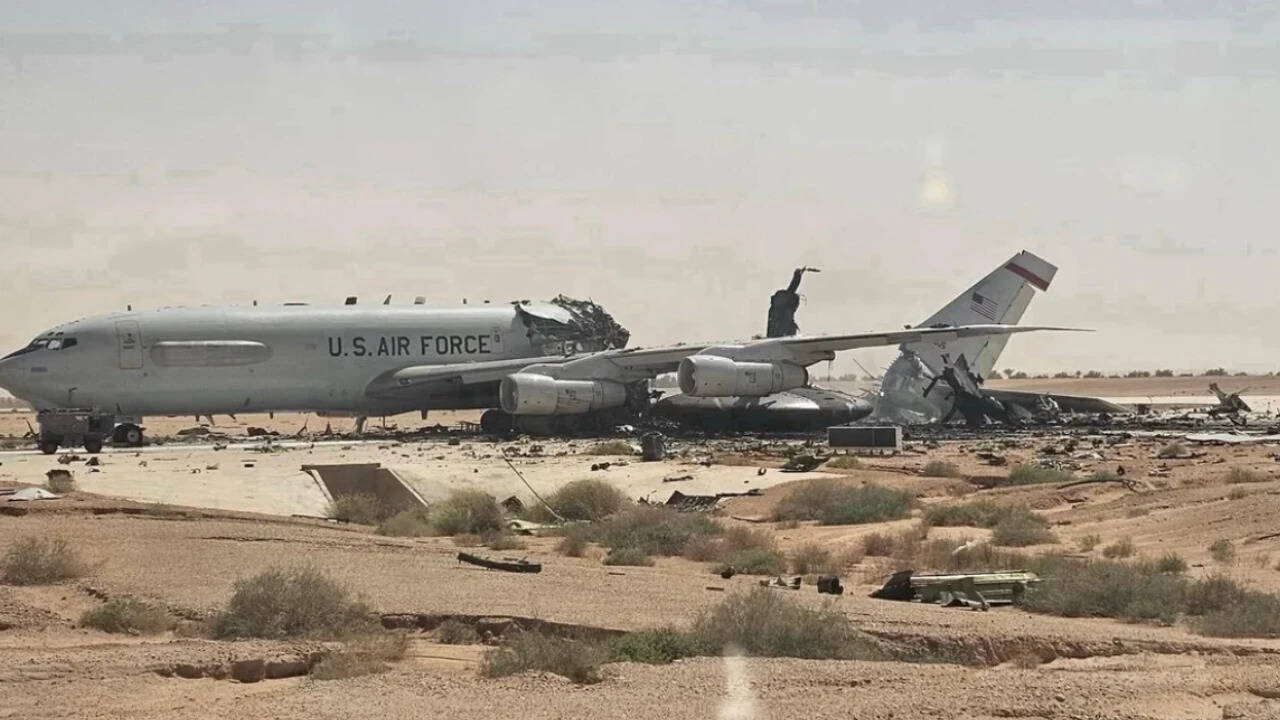
Satellite photographs released following Iran's missile barrage against US military bases have revealed the scale of physical damage from the coordinated assault. The images document impact craters and structural damage at multiple installation sites struck during the operation, providing visual confirmation of the Iranian military's stated objective to inflict direct hits on American targets.
The photographs mark one of the clearest publicly available records of the strike aftermath, showing visible scarring across facility grounds and infrastructure damage at several locations. Military analysts have used the imagery to assess the accuracy and destructive capability demonstrated during the operation, which represented a significant escalation in regional military tensions.
The Iranian military had previously announced the strikes as a response to what it characterized as American provocations in the region. US officials initially reported that defensive systems had mitigated potential casualties, though the satellite evidence indicates the strikes achieved their intended targeting objectives with considerable precision.
The release of the imagery has intensified scrutiny among regional observers and international defence analysts regarding the military capabilities demonstrated and the implications for ongoing tensions in the Middle East. The photographs serve as a rare window into the direct consequences of large-scale cross-border military operations in an era of increasingly sophisticated precision weaponry.