Technology · World News Bureau
Satellite images document scale of devastation from Nepal flash floods
Comparison imagery from space reveals the extent of destruction wrought by recent flash flooding across Nepal, with entire communities reshaped by the natural disaster. The satellite data provides stark visual evidence of the catastrophe's impact on the nation's landscape and infrastructure.
LSN World News ·
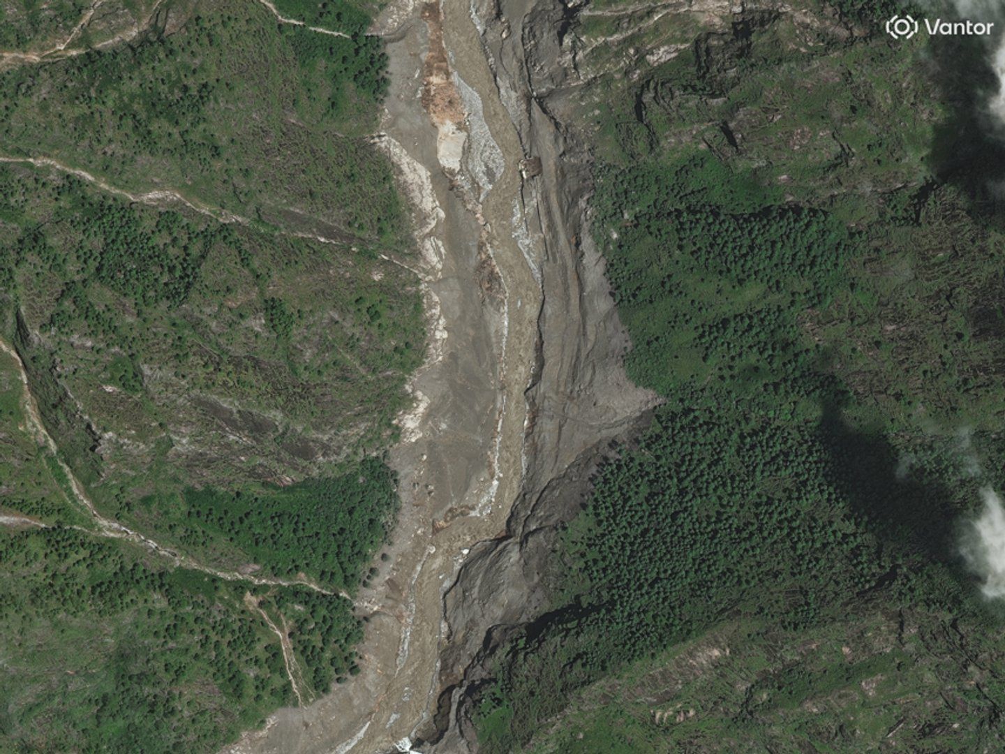
Satellite imagery captured before and after Nepal's recent flash floods demonstrates the catastrophic scale of damage inflicted on communities across the country. The comparative images show dramatic alterations to terrain, with roads washed away, settlements submerged, and natural landscapes fundamentally transformed by the force of floodwaters.
Flash floods triggered by intense rainfall have historically posed significant risks across Nepal, particularly during monsoon seasons when mountainous terrain accelerates water runoff into populated valleys and river systems. The recent disaster has affected multiple districts, with preliminary assessments indicating extensive damage to residential areas, agricultural land, and critical infrastructure.
The satellite documentation provides a crucial tool for disaster assessment and response coordination. Remote imaging allows officials to identify affected areas, prioritize rescue and relief operations, and evaluate the extent of reconstruction needs across multiple regions simultaneously.
Nepal's vulnerability to such flooding stems from its topography, climate patterns, and the concentration of populations in flood-prone river valleys. Authorities have indicated that comprehensive damage surveys are underway to determine the full humanitarian and economic impact of the flooding, with international assistance being coordinated through regional disaster management frameworks.