Technology · India Bureau
Satellite networks and AI algorithms bolster disaster prediction across Asia
Advanced technological systems combining satellite imagery and machine learning are enabling meteorological agencies to issue earlier warnings for cyclones, floods and other natural disasters. The innovations promise to give communities crucial extra hours to prepare and evacuate.
LSN India ·
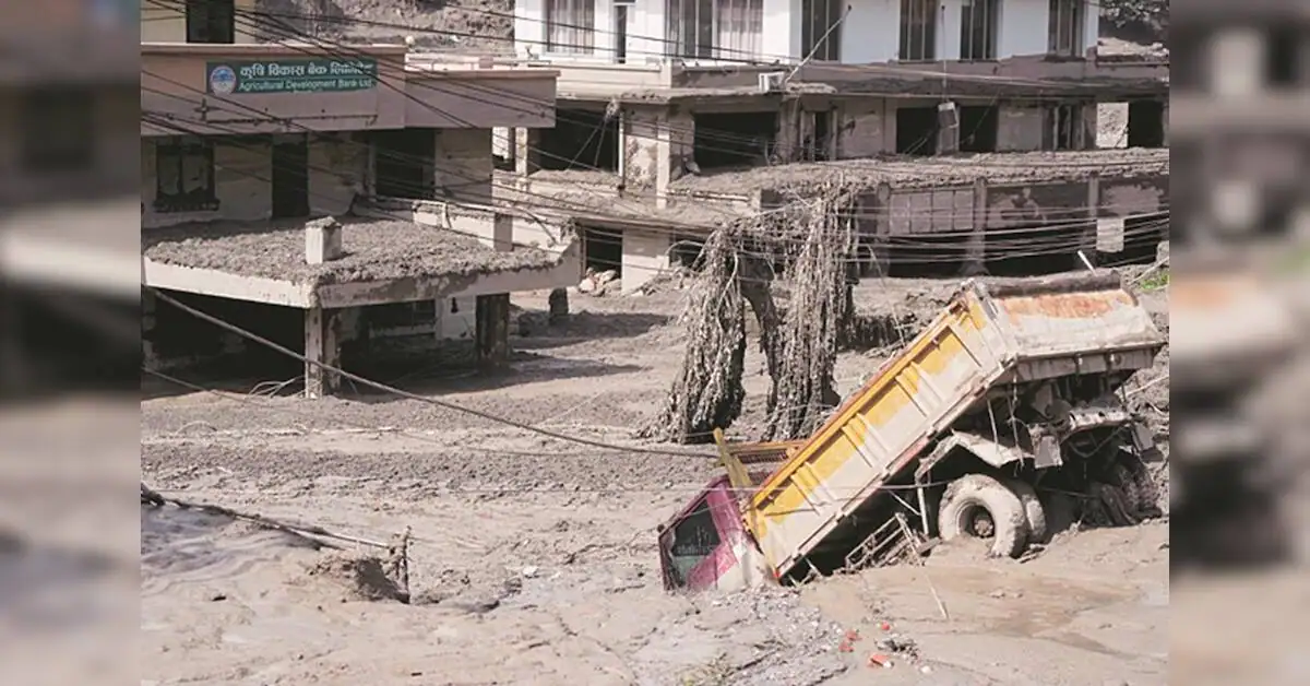
Across South and Southeast Asia, a technological transformation is underway in how governments predict and respond to natural disasters. Satellite networks combined with sophisticated algorithms are processing vast amounts of climate data in real-time, allowing forecasters to detect developing weather systems with greater precision and lead time than ever before.
The integration of these systems represents a significant advancement for a region frequently battered by cyclones, monsoons and flooding. By analysing satellite imagery, ocean temperatures and atmospheric pressure patterns simultaneously, meteorological departments can now issue warnings hours earlier than traditional methods permitted. This additional time window has proven critical for evacuation efforts and disaster preparedness measures.
India's meteorological department has already begun incorporating such technologies into its forecasting operations, particularly for monsoon prediction and cyclone tracking. The enhanced capabilities allow forecasters to better model storm trajectories and intensity, reducing uncertainty in critical decision-making for state governments and disaster management agencies.
Experts note that while technology has dramatically improved warning systems, the effectiveness of disaster mitigation ultimately depends on community preparedness and evacuation infrastructure. The convergence of satellite networks and artificial intelligence is creating a new standard for early warning systems across the region, though consistent investment in ground-level response mechanisms remains essential for translating predictions into lives saved.