Technology · India Bureau
Scientists harness thunder vibrations to map Earth's hidden structures
Researchers have discovered that existing telecommunications fibre-optic cables can detect seismic waves produced by thunderstorms, creating a novel method for studying underground geology. The breakthrough offers a cost-effective approach to monitoring groundwater, sinkholes and subsurface infrastructure across cities.
LSN India ·
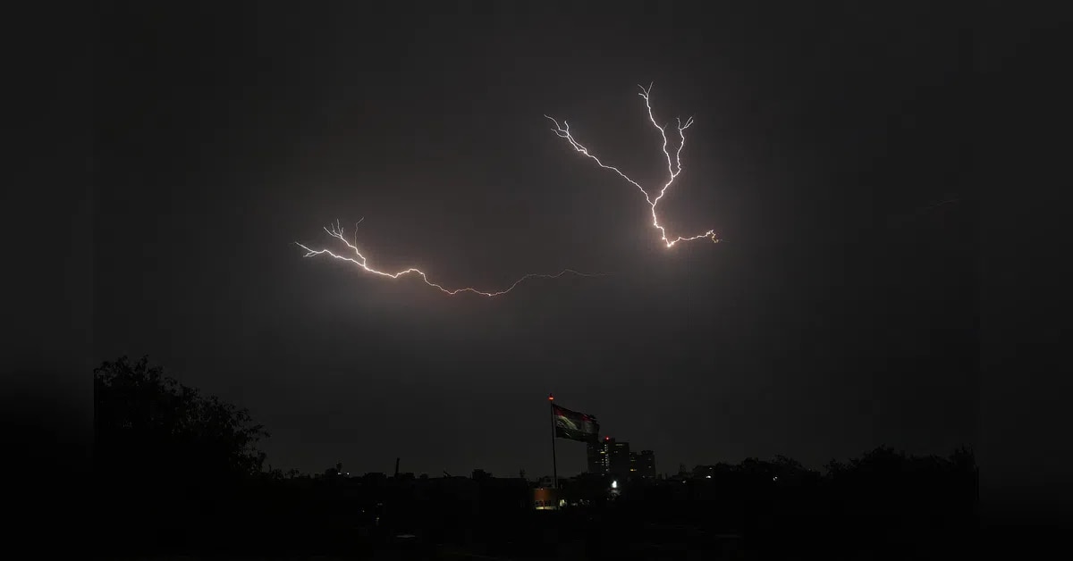
Scientists have unlocked a new tool for peering beneath Earth's surface by repurposing ubiquitous urban infrastructure. Telecom fibre-optic cables, already woven through city networks, can detect subtle seismic vibrations generated by thunder and lightning strikes—phenomena researchers call thunderquakes. This capability transforms ordinary communication lines into a distributed network of sensitive ground sensors.
The research demonstrates what experts term urban seismology in practice. Rather than requiring expensive specialized equipment, the method leverages existing cable networks to capture and analyse ground movements too subtle for conventional detection. When thunder strikes, it generates seismic waves that propagate through soil and rock, creating measurable disturbances in the fibre-optic cables that sense these movements.
The potential applications span critical infrastructure monitoring and geological assessment. Researchers can now map groundwater reserves, identify developing sinkholes, and characterise underground structures—information valuable for urban planning, water resource management and hazard prevention. This approach proves particularly relevant for densely developed regions where conventional seismic surveys face logistical and financial constraints.
The breakthrough suggests that cities worldwide possess an untapped resource for understanding their geological underpinnings. By harnessing fibre-optic networks already installed for telecommunications, municipalities could gain new insights into subsurface conditions with minimal additional investment, potentially revolutionizing how urban planners and geologists study and manage underground environments.