Technology · India Bureau
Starlink satellites repurposed as atmospheric monitoring tools for Earth science
Researchers have found an innovative use for Elon Musk's Starlink constellation, leveraging orbital data from approximately 1,200 satellites to map Earth's upper atmosphere. The breakthrough demonstrates how commercial space infrastructure is becoming an unexpected asset for scientific research.
LSN India ·
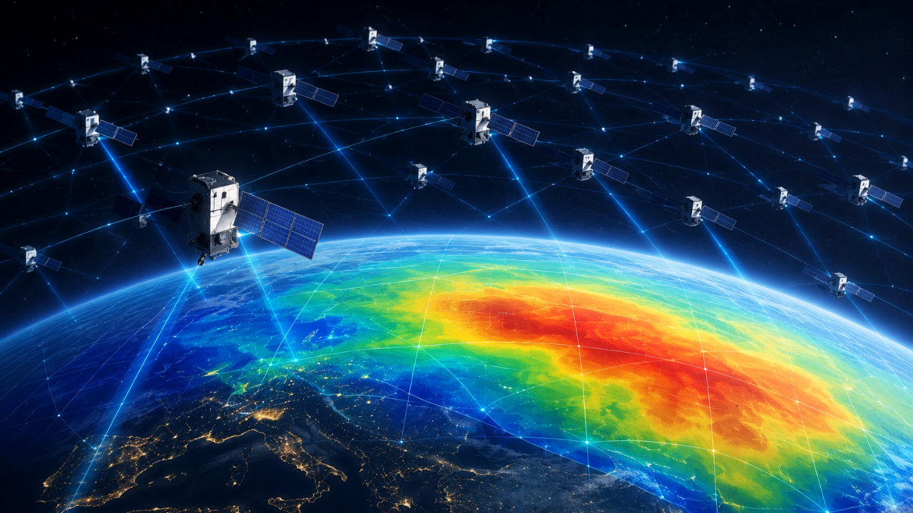
Scientists have discovered that Starlink satellites can serve dual purposes beyond their primary communications function, with researchers now using orbital information from the mega-constellation to study Earth's thermosphere—the region of the atmosphere located roughly 80 to 600 kilometers above the planet's surface.
By analysing how the satellites interact with the upper atmosphere during their orbits, researchers have been able to estimate thermosphere density and create detailed two-dimensional maps showing atmospheric density variations across different regions and altitudes. This approach provides insights into a region that has historically been difficult to observe and study systematically.
The thermosphere plays a crucial role in satellite operations, space weather, and atmospheric physics, making accurate density measurements valuable for scientific research and satellite mission planning. Traditional methods of studying this region have been limited, making the new approach a significant advancement in Earth science monitoring.
The development highlights an emerging trend where commercial space ventures are inadvertently providing scientific value beyond their original design specifications. As mega-constellations like Starlink continue to expand their global coverage, opportunities for collaborative research between private space companies and the scientific community are likely to increase further.
Indian space researchers and institutions may benefit from this methodology, particularly given the country's growing satellite capabilities and interests in atmospheric and space weather research through organisations such as ISRO.