World · India Bureau
Survey of India formally recognizes 28 geographic features in Ladakh
The Survey of India has officially mapped and classified 28 previously unidentified geographic features across Ladakh, including lakes, rivers, and water bodies. The move standardizes nomenclature for key landmarks in the remote region.
LSN India ·
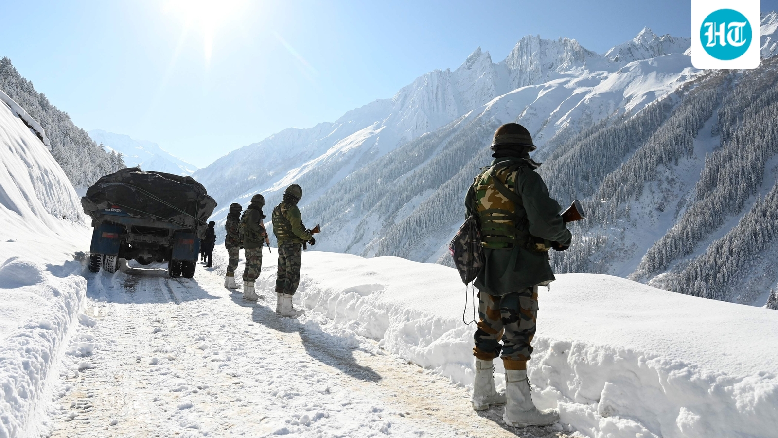
The Survey of India has formally identified and catalogued 28 geographic features across Ladakh, bringing official recognition to landscape elements that have long been known to local communities. The newly mapped features include water bodies, rivers, and lakes that have now been classified according to standardized geographic nomenclature.
Among the features formally recognized on Survey of India maps is Guru Rinpoche, identified as a lake in the region. Yangpa has been classified as a river, while Hot Spring has been officially designated as a water body. The standardized identification ensures these features are accurately represented in official cartographic records and geographic databases.
The initiative reflects efforts to comprehensively document Ladakh's physical geography at a time of heightened focus on the union territory. Formal recognition of geographic features serves administrative, developmental, and archival purposes, ensuring consistent identification across government records and maps.
The Survey of India, the nation's premier mapping agency, maintains the official geographic database for the country. The systematic cataloguing of Ladakh's features contributes to more accurate topographic records for the region, which spans challenging terrain at high altitude in the Himalayas.