World · India Bureau
Tamil Nadu's unique monsoon pattern sets it apart during El Niño years
While El Niño typically brings drought conditions across much of India, Tamil Nadu may experience distinctly different weather patterns driven by atmospheric pressure differences between the Bay of Bengal and Arabian Sea. The state's coastal geography and warm bay waters can trigger intense localised rainfall during November-December cyclonic seasons when El Niño coincides with elevated sea temperatures.
LSN India ·
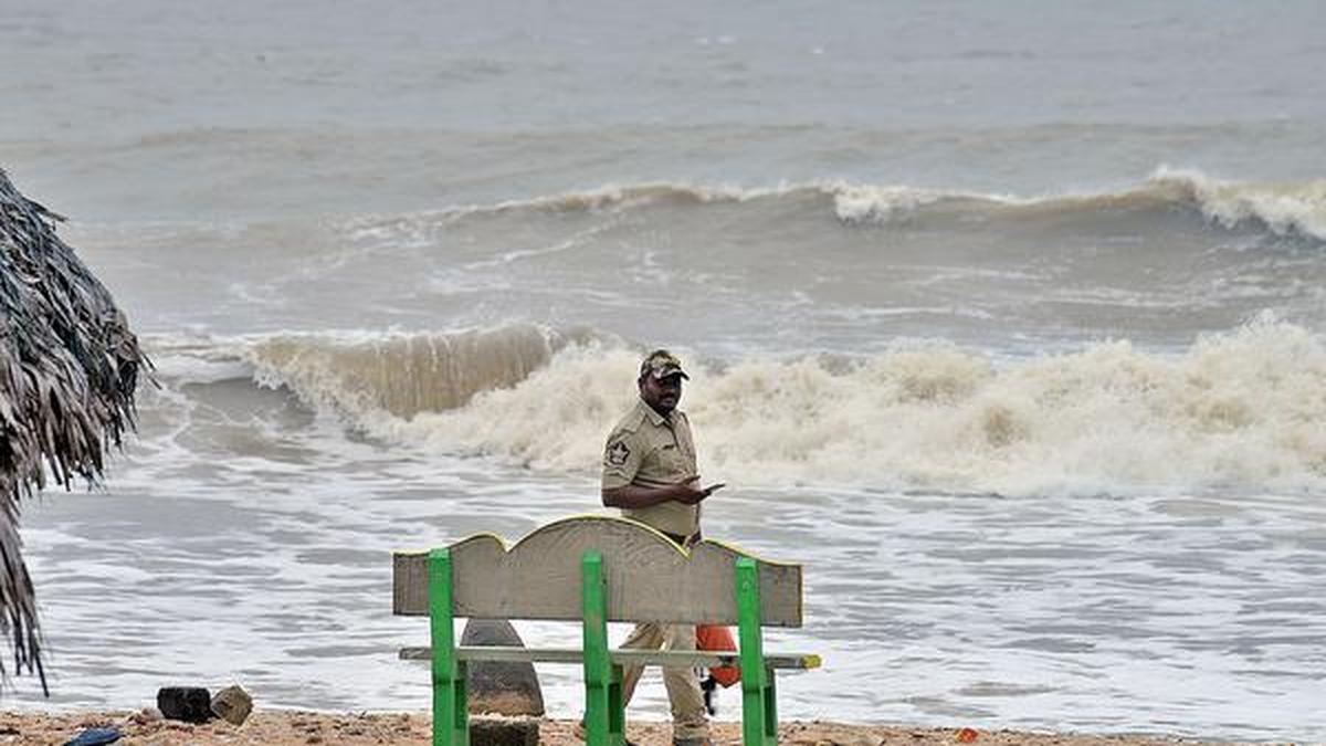
During strong El Niño episodes, atmospheric pressure variations between the Bay of Bengal and the Arabian Sea can redirect moisture-laden air towards Tamil Nadu's coastline, creating weather conditions that diverge markedly from the broader Indian subcontinent's typical El Niño response. This phenomenon reflects the state's distinct geographical positioning and oceanic influences.
The mechanism intensifies when El Niño aligns with above-normal sea surface temperatures in the Bay of Bengal. These warmer waters elevate evaporation rates, increasing atmospheric moisture content over the region. Cyclonic circulation systems that develop during the November-December season can then release this accumulated atmospheric moisture in the form of concentrated, heavy rainfall events affecting localised areas.
Meteorologists have identified this pattern as a significant factor in Tamil Nadu's rainfall variability during El Niño years. While much of India faces reduced precipitation during such episodes, Tamil Nadu's unique interaction between large-scale climate patterns and regional oceanic conditions can produce anomalously wet conditions. Understanding this divergent behaviour is crucial for state-level weather forecasting and agricultural planning.
The state's vulnerability to these concentrated rainfall events during El Niño-influenced seasons underscores the importance of region-specific climate monitoring and early warning systems tailored to Tamil Nadu's particular atmospheric dynamics.