World · India Bureau
Telangana Survey Issues Majority of SIR Notices in Hyderabad Periphery
A comprehensive survey report reveals a stark geographical divide in the issuance of Survey Index Records (SIR) notices across Telangana's capital region. Over 60 percent of notices were concentrated in Hyderabad's periphery, while the urban district itself accounted for less than 35 percent.
LSN India ·
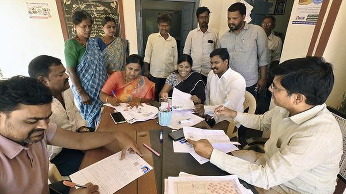
The distribution of SIR notices across Telangana's Hyderabad region shows a marked concentration in peripheral areas rather than the urban core, according to recent survey data. The disparity highlights significant variations in land record documentation across different zones of the metropolitan region, with outer areas receiving considerably more notices than the central district.
The primary reason cited for the majority of notices issued was properties remaining "Unmapped with Last SIR," accounting for approximately 34.9 percent of all notices across the region. This classification indicates land parcels that have not been properly cross-referenced or updated in relation to the most recent Survey Index Records, a critical issue for property documentation and land ownership verification.
The findings underscore ongoing challenges in maintaining comprehensive and current land records across Hyderabad's rapidly expanding urban footprint. The higher concentration of unmapped properties in peripheral areas suggests that systematic documentation efforts may be struggling to keep pace with urban expansion and demographic growth in these zones.
The survey results are expected to inform policy decisions regarding land record digitization and property registration processes in the state. Officials may need to prioritize updating and mapping land records in peripheral areas to ensure consistent documentation standards across the metropolitan region and facilitate smoother property transactions and land administration.