Technology · India Bureau
Three space startups selected for satellite-based urban mapping project
India's IN-SPACe programme has chosen SpacePixxel, KaleidEO and Azista Industries to develop high-resolution settlement mapping using domestic satellite data. The ₹1.46 crore initiative will pilot applications in Bengaluru and Shimla.
LSN India ·
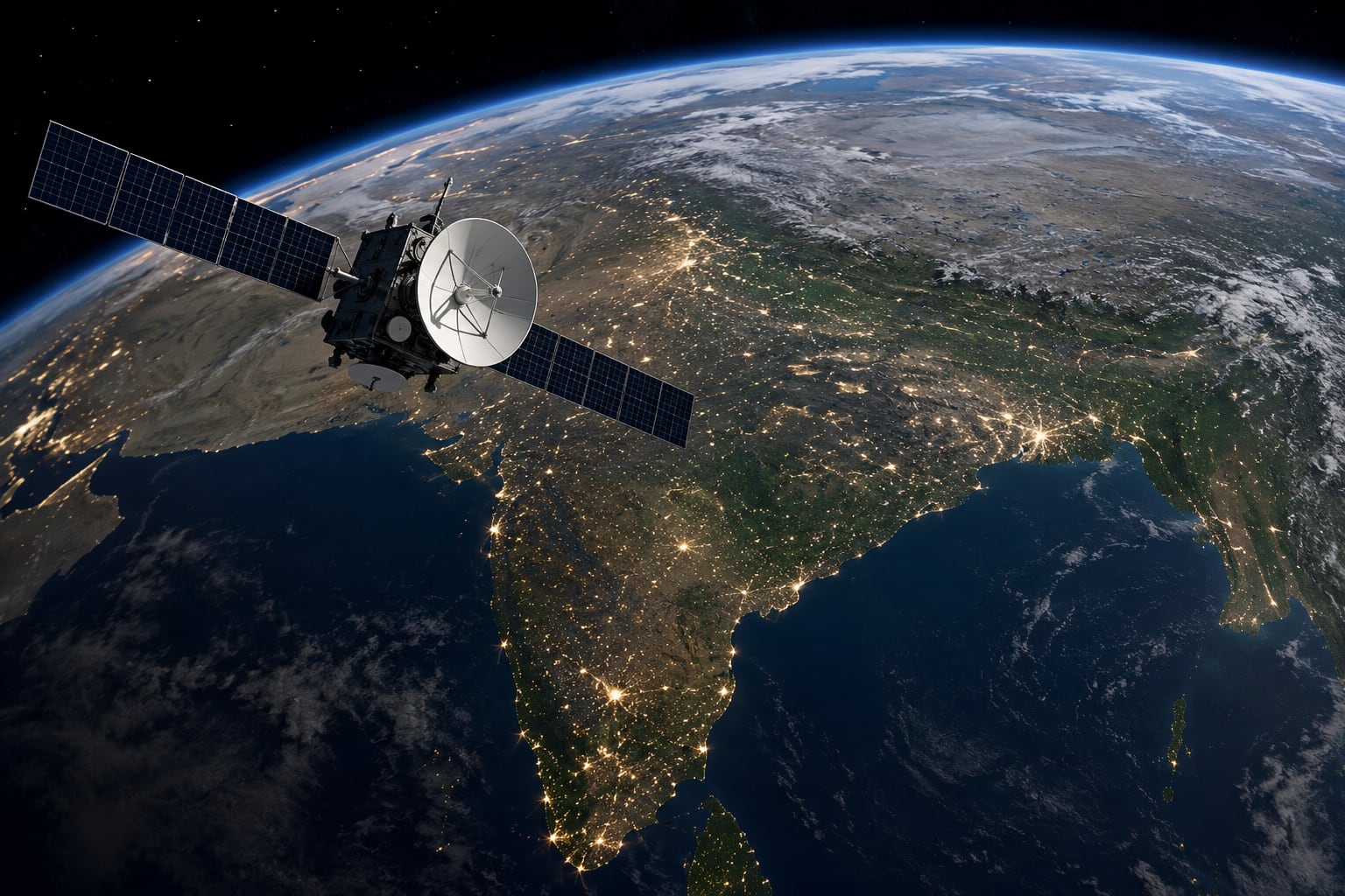
The Indian National Space Promotion and Authorisation Centre (IN-SPACe) has announced the selection of three space technology companies to advance satellite-based urban settlement mapping capabilities across the country.
SpacePixxel, KaleidEO and Azista Industries will collectively receive ₹1.46 crore in funding to develop high-resolution settlement data layers leveraging Indian satellite imagery. The project aims to create detailed digital maps of urban settlements that can support infrastructure planning, urban governance and development initiatives.
Pilot implementations of the technology will be conducted in Bengaluru and Shimla, two cities with distinct geographic and urban characteristics. These trials will validate the accuracy and applicability of the satellite-derived settlement mapping across different terrain types and climatic conditions.
The initiative represents part of IN-SPACe's broader mandate to foster commercial space sector growth in India by providing financial support and regulatory clearance for innovative space technology applications. The focus on indigenous satellite data underscores the government's emphasis on leveraging domestic space assets for national development priorities.
Successful completion of these pilot projects could pave the way for scaled deployment of settlement mapping tools across Indian cities, potentially enhancing urban planning efficiency and resource allocation.