World · World News Bureau
UN Adopts New Map Projection to Correct Africa's Cartographic Underrepresentation
The United Nations has endorsed an alternative map projection that more accurately represents Africa's true size, addressing centuries of geographic distortion that made the continent appear significantly smaller than reality.
LSN World News ·
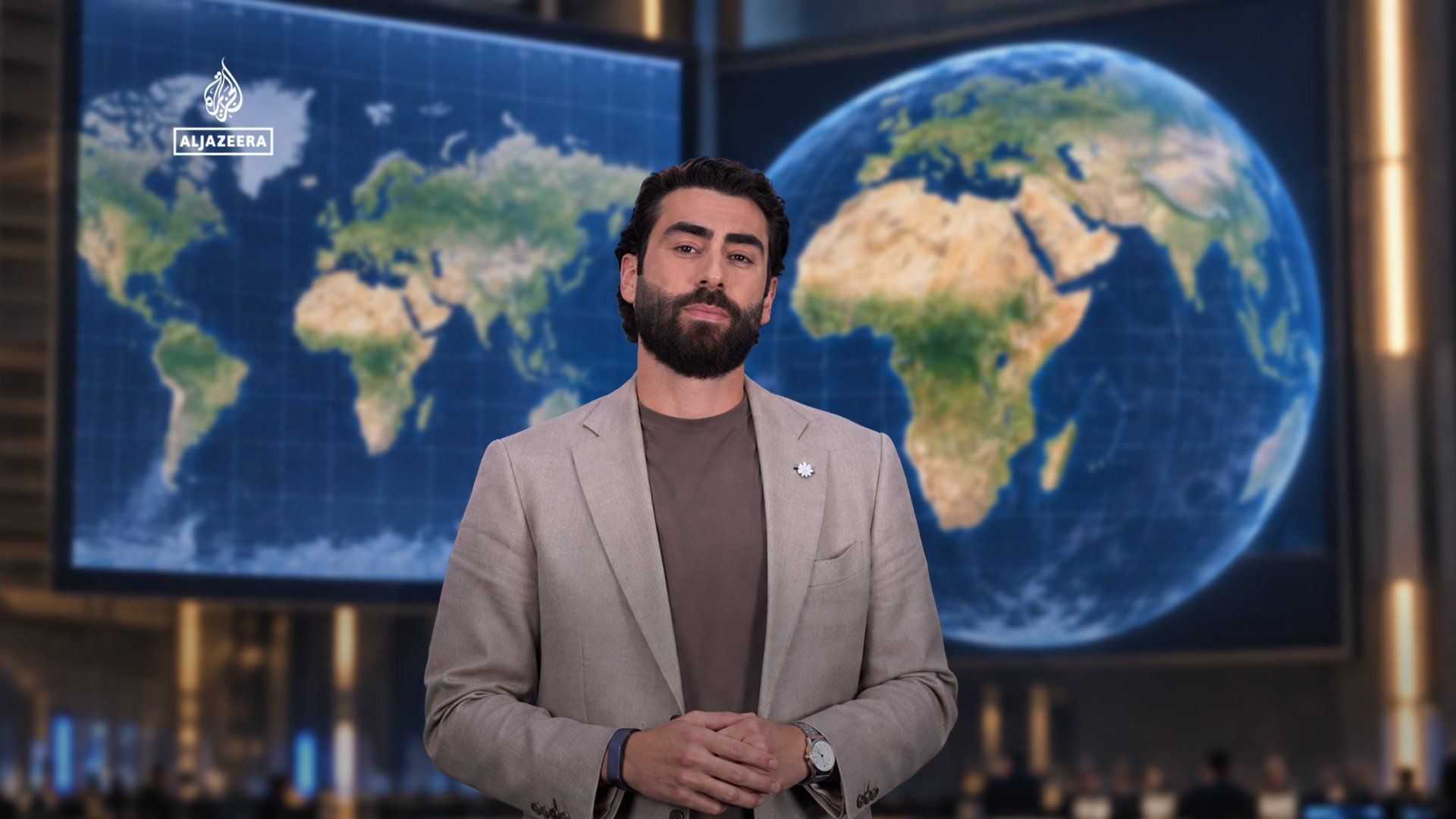
The Mercator projection, developed in 1569 and long the standard for world maps, has systematically distorted continental sizes by exaggerating landmasses closer to the poles while shrinking those near the equator. This cartographic approach meant Africa, which spans across the equator, appeared substantially smaller than its actual area of 30.37 million square kilometers—roughly equivalent to China, India, the United States, and much of Europe combined.
The UN's decision to recognize alternative map projections, particularly those such as the Gall-Peters or Authagraph models, represents a symbolic shift in how the international community views geographic representation. These projections more accurately depict relative sizes of continents and countries, providing a more equitable visual representation of the world's land masses.
Experts argue that the centuries-long reliance on the Mercator projection has had subtle but significant cultural and political implications. The visual diminishment of Africa on classroom maps and atlases has contributed to persistent misperceptions about the continent's actual geographic and economic significance. By adopting more accurate projections, institutions can help correct deeply ingrained misconceptions about global geography.
The shift toward alternative map projections has gained momentum in recent years, with schools, media organizations, and digital platforms increasingly adopting representations that better reflect geographic reality. The UN's endorsement is expected to accelerate this transition and encourage wider adoption of more accurate cartographic standards.