World · World News Bureau
UN adopts new world map correcting Africa's geographical representation
The UN General Assembly has voted overwhelmingly to adopt a revised world map that accurately depicts Africa's true size, addressing a cartographic distortion that has persisted for centuries. The resolution, sponsored by Togo, secured support from 164 nations, with the United States casting the sole opposing vote.
LSN World News ·
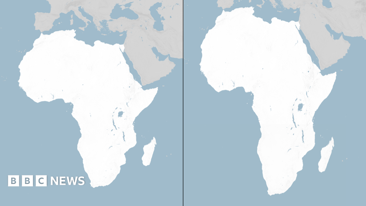
The UN General Assembly's decision marks a significant shift in how the world's continents are officially represented on global maps. Traditional Mercator projection maps, long used as the standard in schools and institutions worldwide, have systematically exaggerated the size of northern landmasses while diminishing Africa's actual dimensions. Africa's true surface area of approximately 11.7 million square kilometers has been consistently understated on conventional maps.
The Togo-led initiative reflects growing recognition among UN member states that cartographic accuracy carries implications beyond mere geography. Supporters argue that the distorted representation has contributed to skewed perceptions of Africa's economic and geopolitical significance on the world stage. The overwhelming support from 164 nations demonstrated broad international consensus on the need for reform.
The United States' dissenting vote stood in contrast to the near-universal backing for the measure. The adoption of the corrected map projection is expected to influence how geography is taught globally and how international institutions present geographical data in official publications and communications.