World · World News Bureau
UN adopts new world map, sparking debate over cartographic accuracy
The United Nations has endorsed a revised world map designed to correct long-standing distortions in how continents are represented. The shift highlights persistent questions about which mapping projections best serve global understanding.
LSN World News ·
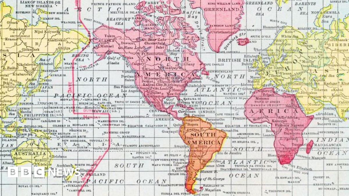
The United Nations' decision to adopt a new cartographic standard marks a significant moment in how the world visualizes itself. The move addresses a fundamental problem that has persisted for centuries: most widely-used world maps systematically misrepresent the size and shape of landmasses, particularly affecting countries in Africa, South America, and Asia.
The most common map projection used globally, the Mercator projection developed in the 16th century, was designed for maritime navigation rather than accurate geographical representation. This system dramatically enlarges territories closer to the poles while shrinking equatorial regions. As a result, Africa—which covers approximately 11.7 million square kilometers—appears significantly smaller than Greenland on many standard maps, despite being roughly 14 times larger in reality.
The UN's endorsement of alternative projections, such as the Gall-Peters projection, aims to provide more proportionally accurate depictions of continents. Supporters argue this correction is essential for proper understanding of global demographics, economics, and geopolitical relationships. However, different map projections each present distinct advantages and limitations; no single projection can simultaneously preserve area, shape, distance, and direction across an entire sphere.
Cartographers and geographers continue to debate which projections best serve different purposes. While area-accurate maps provide demographic clarity, directional projections remain valuable for navigation and certain analytical applications. The UN's decision reflects growing recognition that map selection carries educational and political implications for how societies understand their place in the world.
Experts suggest the solution lies not in adopting a single universal map, but in promoting cartographic literacy—understanding that all maps involve trade-offs and that multiple representations serve different purposes.