World · World News Bureau
UN backs resolution to adopt maps showing Africa's accurate size
The United Nations General Assembly has approved a resolution supporting the adoption of cartographic representations that more accurately depict the continent of Africa's true geographical proportions.
LSN World News ·
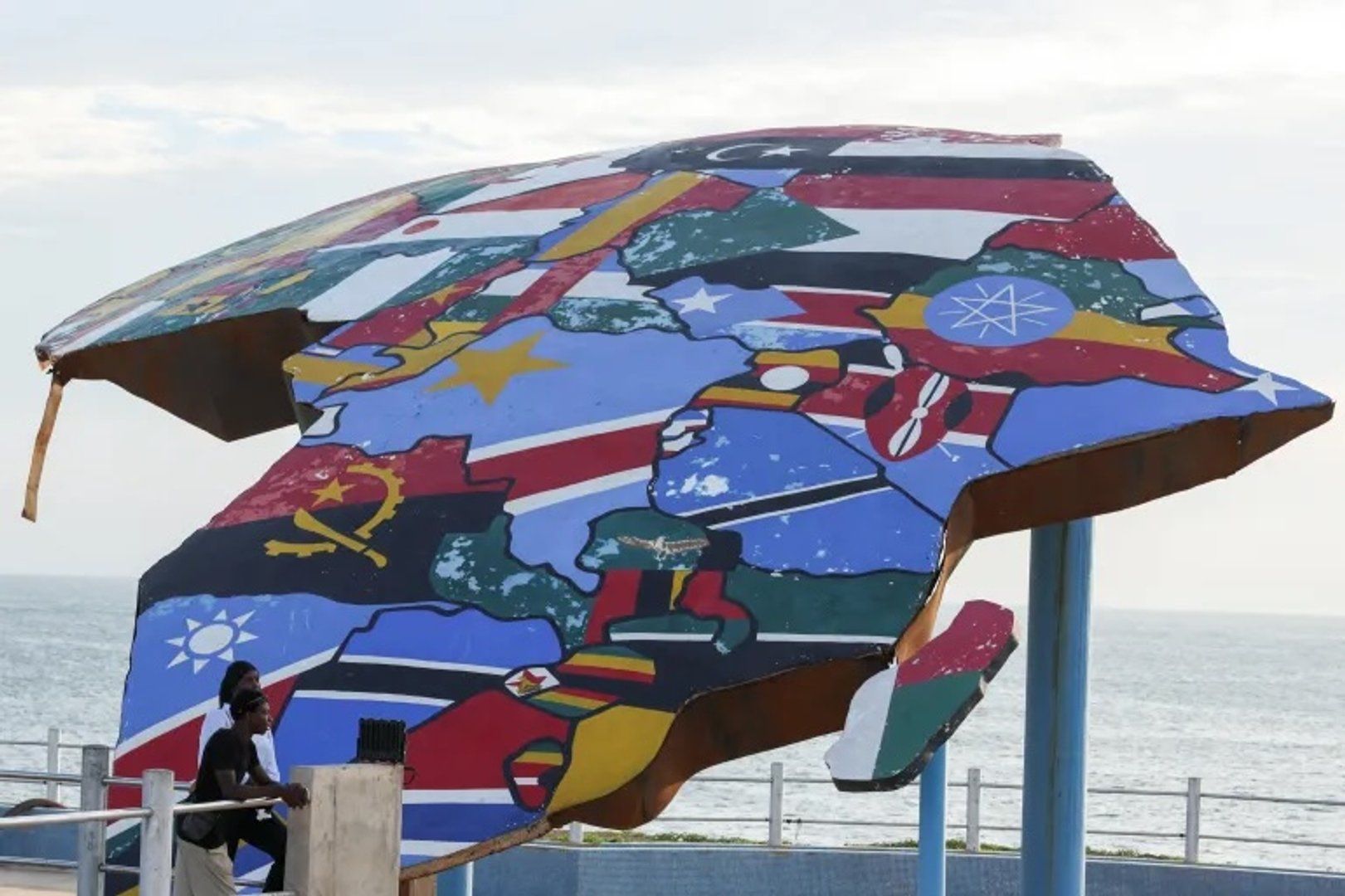
The UN General Assembly has endorsed a resolution calling for increased use of maps that correctly represent Africa's actual size, addressing a long-standing cartographic disparity that has distorted public perception of the continent for centuries.
Most conventional world maps employ the Mercator projection, a mapping system developed in the 16th century for maritime navigation. While effective for seafaring purposes, this projection significantly enlarges landmasses at higher latitudes while diminishing those near the equator, causing Africa to appear substantially smaller than it actually is.
In reality, Africa spans approximately 11.7 million square miles, making it larger than China, the United States, and much of Europe combined. The disparity between depicted and actual size has been recognized by geographers and educators as contributing to skewed global perspectives about the continent's economic and political importance.
The General Assembly's backing of the resolution signals international support for adopting alternative projections, such as the Gall-Peters projection, which maintain accurate area measurements across all regions. Proponents argue that correcting cartographic representation is an important step toward ensuring equitable global awareness and understanding of Africa's true geographical and strategic significance.