World · India Bureau
UN chief dismisses 'official map' concept amid India's border depiction row
UN Secretary-General António Guterres has clarified that no authoritative UN map exists with international borders, following India's formal objection to cartographic representations of disputed territories in a recently passed UN resolution.
LSN India ·
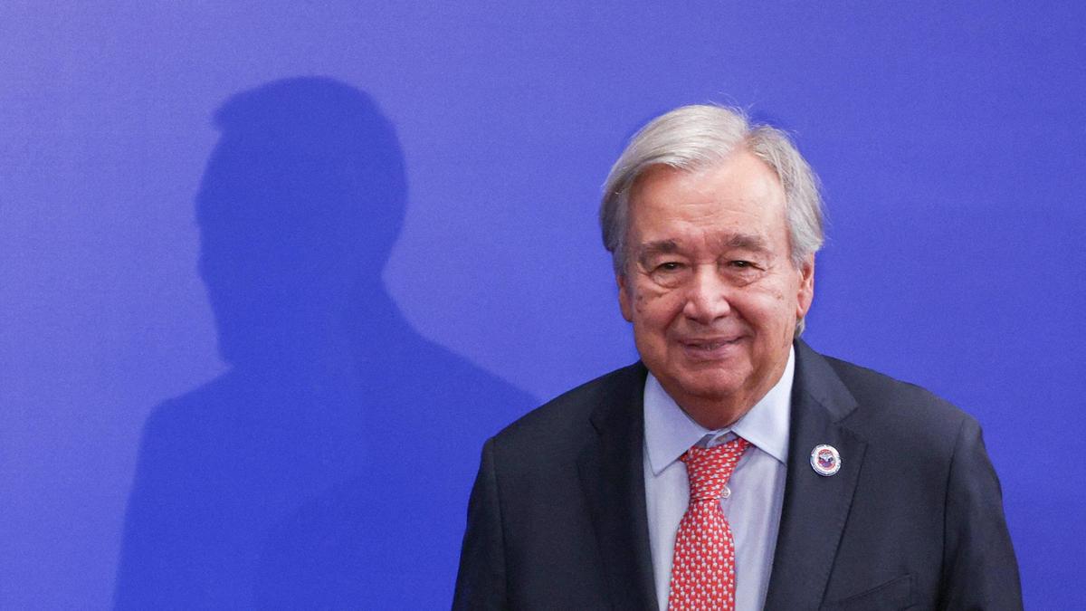
India has lodged a formal complaint with the United Nations over what it describes as "anomalies" in the depiction of Arunachal Pradesh and Aksai Chin on a map circulated during consultation processes for the 'Correct the Map' resolution, which was adopted by the UN General Assembly.
In response to the concerns raised, Guterres stated that the United Nations does not maintain or endorse an official map delineating international borders. The clarification comes as the world body seeks to address cartographic inconsistencies that have drawn objections from member states.
The 'Correct the Map' resolution aimed to rectify outdated or inaccurate representations used in UN documentation. However, the map used in the consultative process included depictions of Indian territories that New Delhi maintains do not reflect its sovereign claims and internationally recognized boundaries.
India has long disputed China's control of Aksai Chin, while Arunachal Pradesh remains contested between the two nations. The government's written objection underscores its sensitivity to how these regions are represented in international forums and documents.
The UN's position that it does not maintain binding cartographic representations with defined borders seeks to avoid endorsing territorial claims of disputing nations, though the practical implications for future UN mapping efforts remain unclear.