World · Bangladesh Bureau
UN endorses resolution backing accurate African continent map
The United Nations has approved a resolution supporting the adoption of maps that accurately depict Africa's true geographic size, addressing long-standing distortions in global cartography.
LSN Bangladesh ·
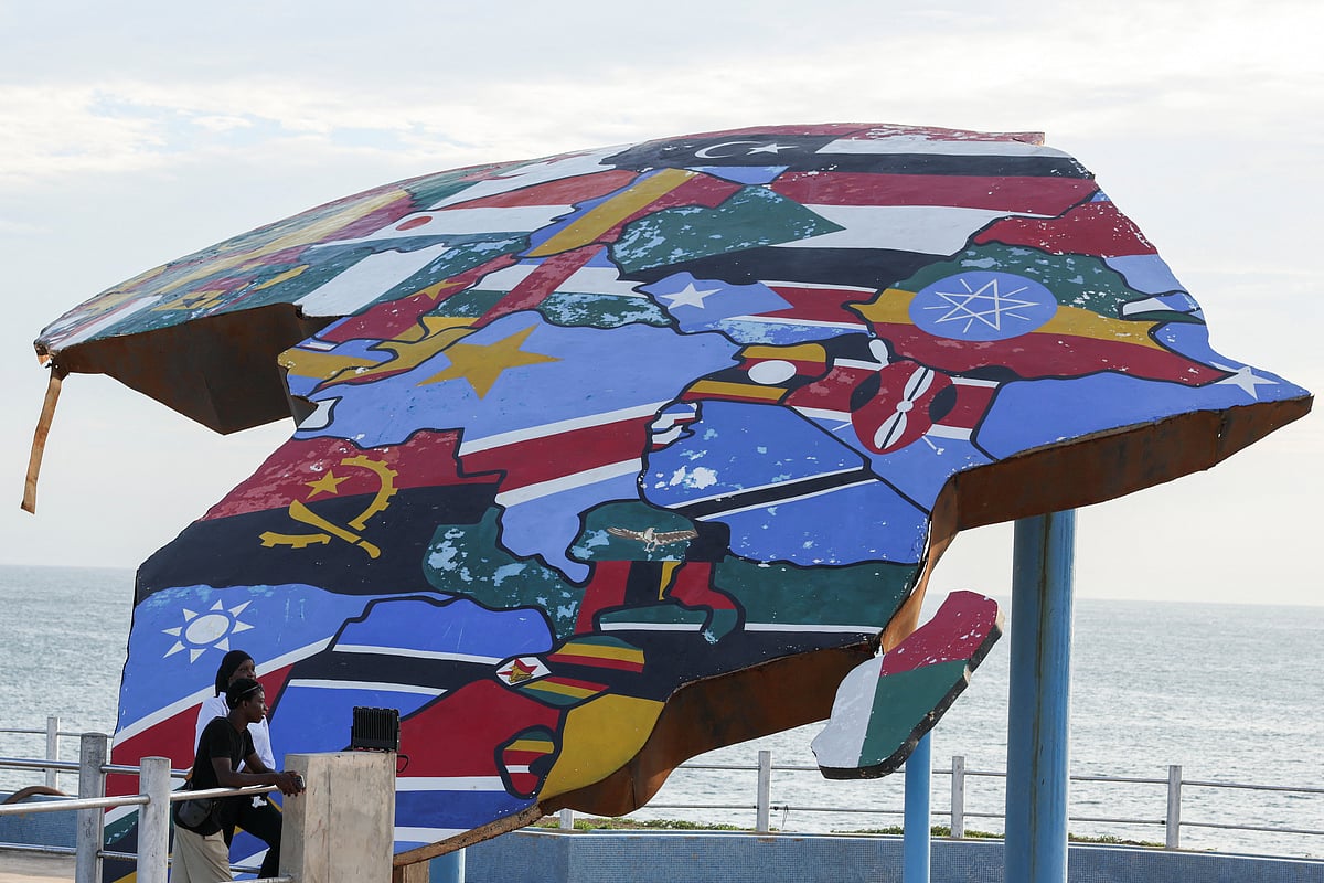
The United Nations General Assembly has passed a resolution advocating for the use of more accurate map projections that correctly represent the African continent's actual dimensions. The action addresses a persistent cartographic issue wherein traditional world maps, particularly those using the Mercator projection developed in the 16th century, significantly distort the size of Africa relative to other landmasses.
The Mercator projection, widely used in education and navigation for centuries, inflates the apparent size of regions closer to the poles while diminishing those near the equator. This technical limitation has resulted in Africa appearing substantially smaller than it actually is—a distortion that has influenced perceptions and representations of the continent globally.
The UN resolution encourages member states and international organizations to consider alternative map projections that provide more geographically accurate representations. Advocates for the change argue that correcting these visual distortions can help reshape global perspectives on Africa's economic, political, and strategic significance.
Proponents of accurate mapping note that Africa covers approximately 30.4 million square kilometers, making it the world's second-largest continent. The push for cartographic accuracy reflects growing recognition that geographical representation influences how regions and their peoples are perceived internationally.