World · India Bureau
UN endorses revised world map showing Africa larger, Europe smaller
A United Nations-backed cartographic standard has redefined how continents are portrayed on world maps, correcting long-standing size distortions that have inflated Europe's representation while diminishing Africa's actual landmass.
LSN India ·
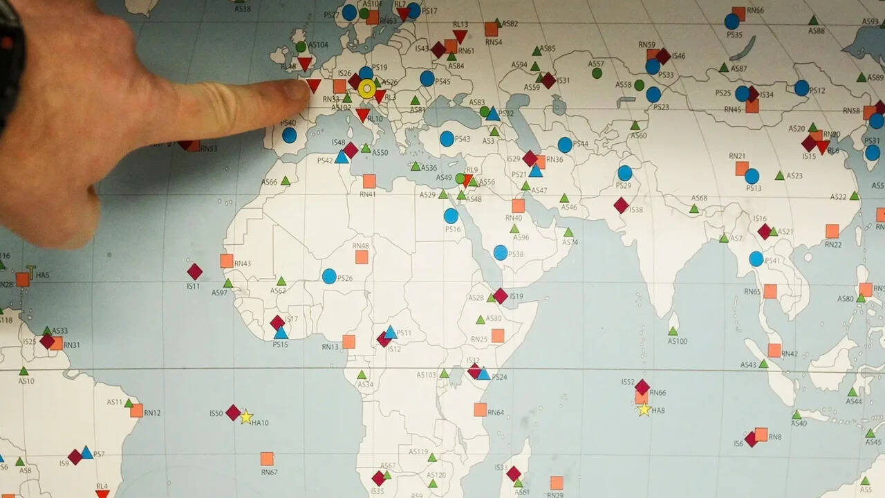
The shift in global mapping standards represents a significant correction to the Mercator projection, the map format that has dominated Western cartography for over four centuries. Under this traditional system, landmasses near the equator—including much of Africa—have been systematically undersized, while regions closer to the poles, particularly Europe and North America, have appeared disproportionately large.
The UN-endorsed standard now employs more accurate projection methods that better reflect the true geographic proportions of continents. Africa's actual land area of approximately 30.4 million square kilometers has been substantially underrepresented in conventional maps, appearing roughly 14 million square kilometers smaller than reality. Conversely, Europe has been depicted as far larger than its actual 10.2 million square kilometers.
This cartographic correction carries implications beyond mere geography. Educators and policymakers have long noted that distorted map representations influence how populations perceive global power dynamics and relative importance of different regions. The new standard aims to provide a more equitable visual representation of world geography.
While the Mercator projection served navigational purposes effectively during the age of maritime exploration, modern technology and geographic science have enabled more precise alternatives. The adoption of UN-backed standards encourages educational institutions and media organizations across Asia and globally to reconsider which map projections they employ in classrooms and publications.