World · India Bureau
UN initiative challenges map makers to rethink global representation
A United Nations-backed effort is drawing attention to how cartographic choices shape perceptions of the world. Experts argue that traditional map projections distort geographical reality and influence geopolitical understanding.
LSN India ·
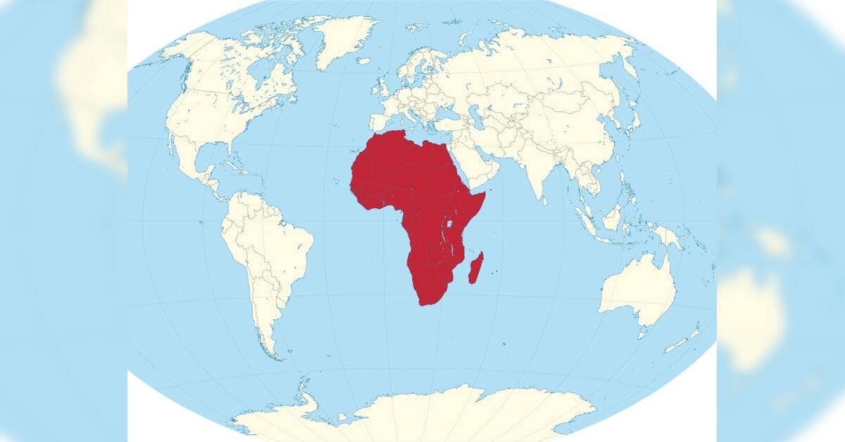
The push for more accurate world maps represents a growing recognition among geographers, policymakers, and international bodies that how we depict the Earth carries profound implications for how nations and peoples understand their place in the world. Traditional map projections, many dating back centuries, involve fundamental compromises in representing a three-dimensional sphere on a two-dimensional surface, inevitably distorting distances, areas, and proportions.
These distortions have historical consequences. Many widely-used projections exaggerate the size of northern hemisphere landmasses while minimizing African and Asian territories, a legacy critics argue reflects colonial-era cartographic biases. Such visual misrepresentations can subtly influence educational curricula, policy decisions, and public perception of global power dynamics and resource distribution.
The UN-backed initiative aims to encourage map makers and educational institutions to adopt alternative projections that offer more equitable representations of the world's surface. Different projection methods—such as the Equal Earth projection or the Gall-Peters projection—prioritize accuracy in land area or other geographical features, though each involves its own trade-offs in representing shape, distance, or direction.
Advocates contend that modernizing cartographic standards is not merely a technical exercise but a matter of global equity. For South and Southeast Asian nations, whose territories have historically appeared smaller or less significant on conventional maps, adopting more accurate projections could help correct long-standing visual biases in international discourse and education. The effort reflects a broader understanding that maps are tools of power—shaping how populations perceive geography, national boundaries, and international relationships.